
Camino Francés to Santiago: stages from Sarria to Santiago, gear and preparation
Preparing for the Camino is above all a matter of carrying little. Here you have the five stages from Sarria to Santiago, the gear you really need, the preparation and tools to get organised, with the experience of living in Arzúa, right where the Palas de Rei – Arzúa stage ends.
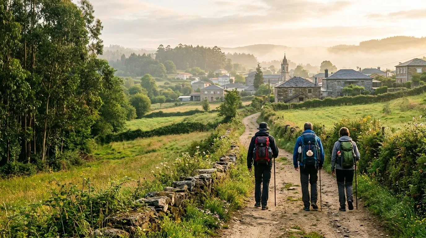
The Camino Francés in four facts
Sarria – Santiago
The last 100 km of the Camino Francés, in five stages of 19 to 29 km, which is what most pilgrims who request the Compostela walk.
Five stages
Sarria – Portomarín, Portomarín – Palas de Rei, Palas de Rei – Arzúa, Arzúa – O Pedrouzo and O Pedrouzo – Santiago.
Medium
You do not need to be an athlete, but your body appreciates a transition: the longest stage is Palas de Rei – Arzúa.
Every day
Over the last 100 km you need at least two stamps a day in your credential to request the Compostela.
Many people start the trip in Santiago, which has an airport at Lavacolla and a high-speed train station. From there, the easiest option is to take a bus to Sarria, where the last 100 km begin: it takes a little over two hours.
The stages in pictures
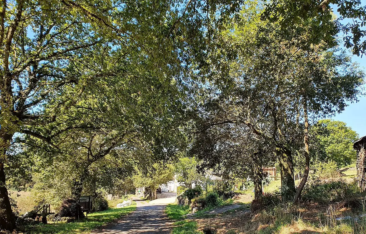 2
 3
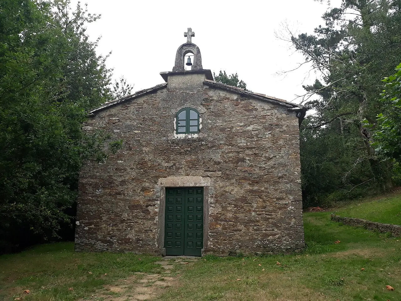 4
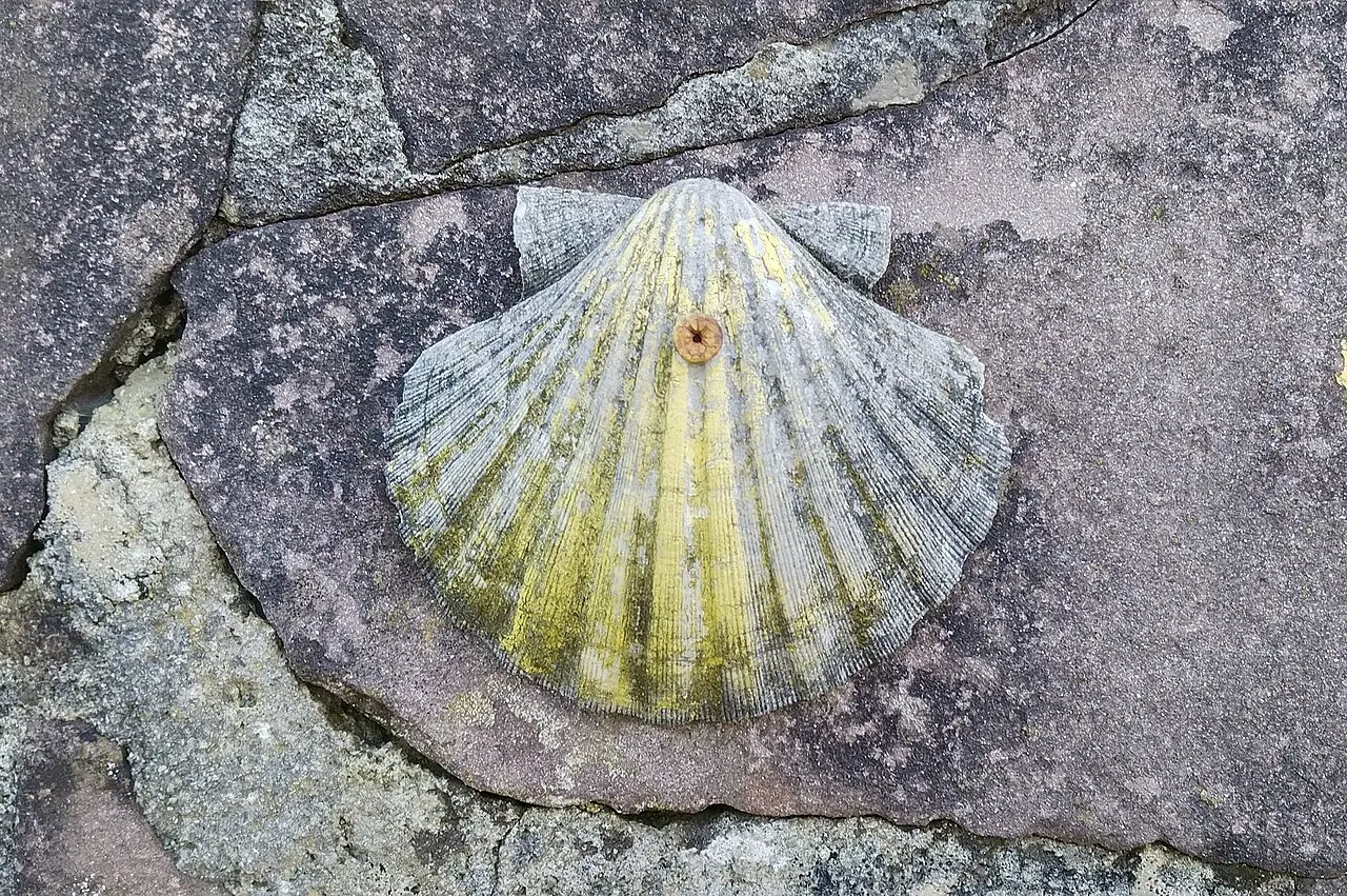 5
The five stages, to scale
From Sarria to Santiago, with widths proportional to the kilometres. Tap each section to see its full guide.
Stage table
| Stage | Km | Cumulative | Time | Difficulty | Altitude |
|---|---|---|---|---|---|
| Sarria – Portomarín | 22.4 | 22.4 km | 5 – 7 h | Medium | 339 – 661 m |
| Portomarín – Palas de Rei | 25.0 | 47.4 km | 5.5 – 7.5 h | Medium | 354 – 723 m |
| Palas de Rei – Arzúa | 28.8 | 76.2 km | 6.5 – 8.5 h | Medium-high | 314 – 556 m |
| Arzúa – O Pedrouzo | 19.3 | 95.5 km | 4.5 – 6 h | Low-medium | 264 – 409 m |
| O Pedrouzo – Santiago | 19.8 | 115 km | 4.5 – 6 h | Low | 253 – 390 m |
Distances and altitudes are calculated from each stage's track; times assume between 3.5 and 4.5 km/h with breaks. They may vary depending on the variant, the state of the path and your pace.
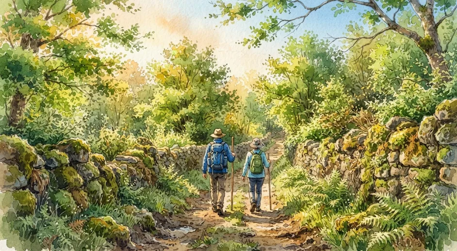
Your stretch, with services
Choose where you start and where you finish: we add up the kilometres, time and services along the way.
The stages from Sarria to Santiago
Each stage has its own full guide with the stage-by-stage detail, water and services.
Sarria – Portomarín
Stage Sarria – Portomarín
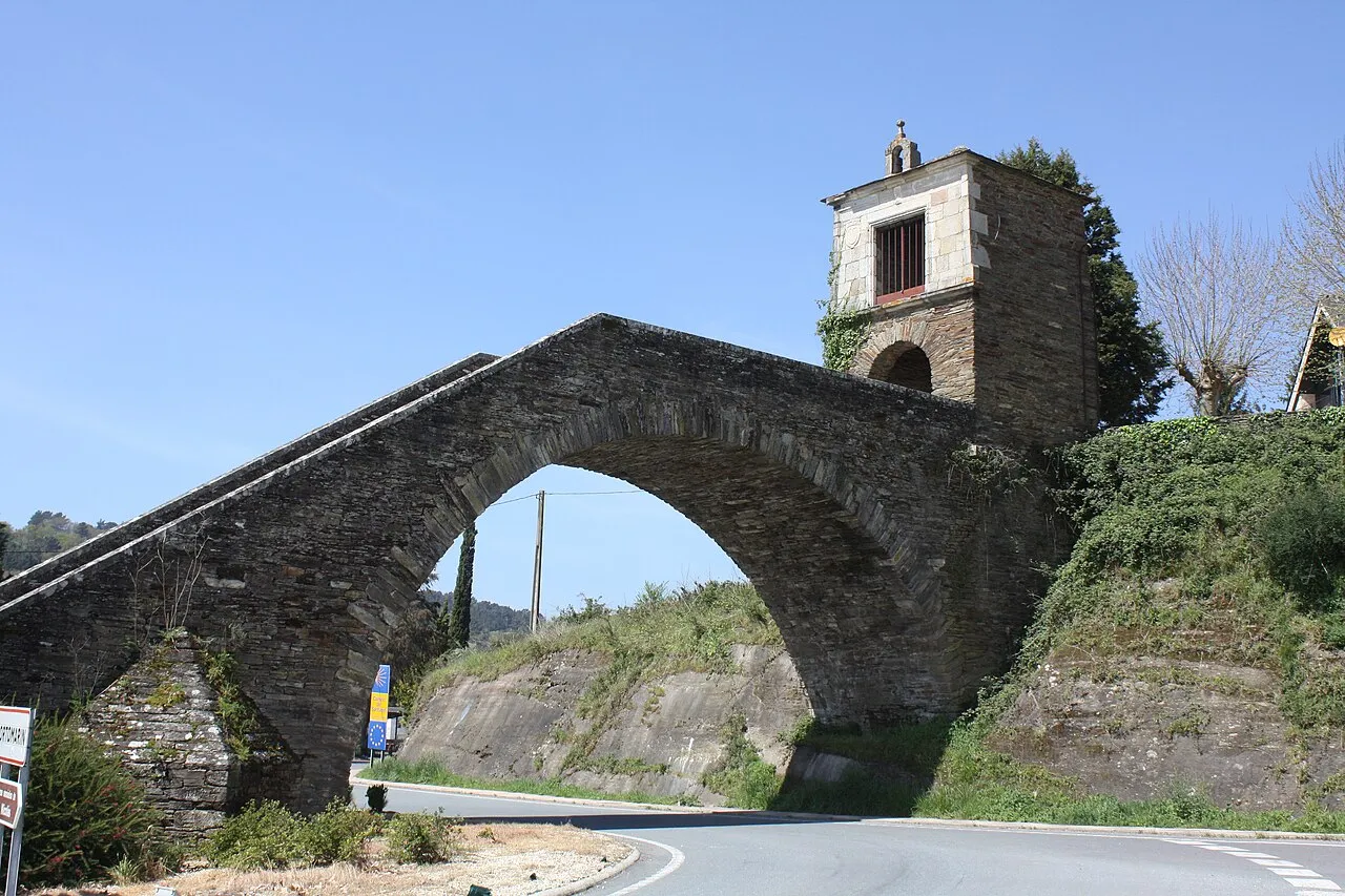
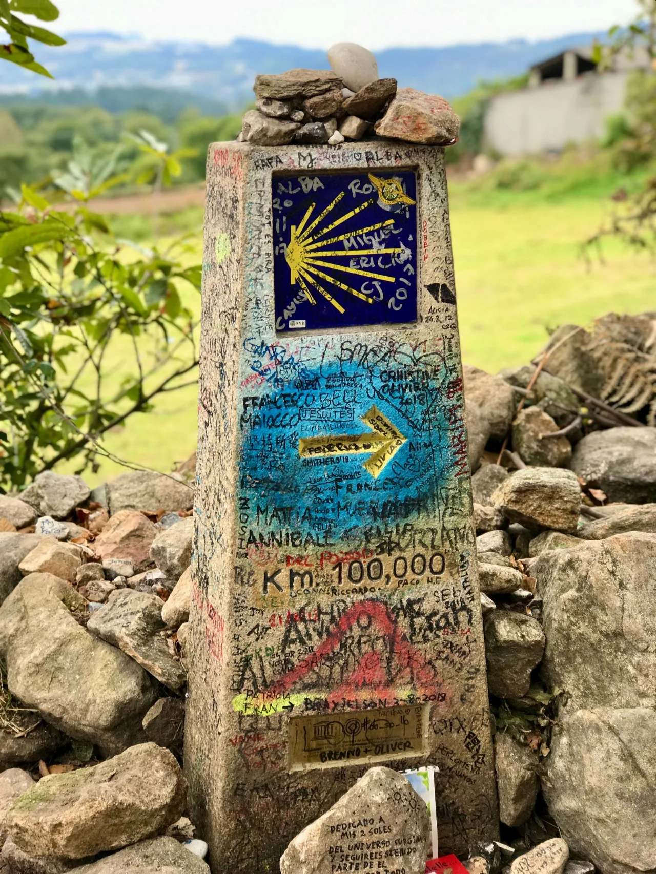
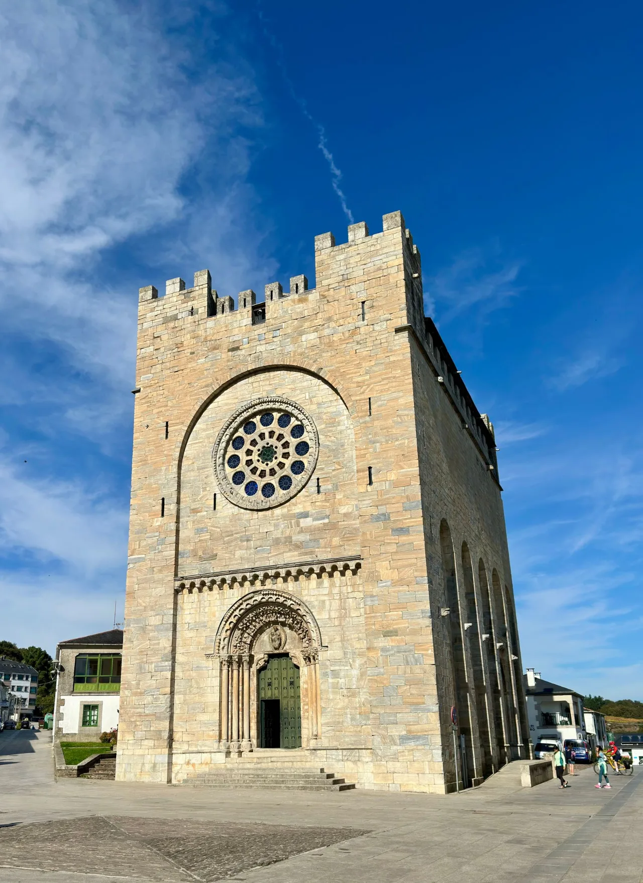
Sarria is the start of the last 100 km. You set out among chestnut groves, with lovely views of rural Galicia, and pass Barbadelo, with its Romanesque church of Santiago, and the km 100 marker. The stage ends with a descent towards Portomarín and the bridge over the Miño. Morgade is a good place to stop among granite walls before crossing the reservoir.
- Key tip
- The km 100 marker is in Ferreiros and marks the minimum distance on foot for the Compostela. Save some energy for the end: the descent to the Miño feels long.
- Water and services
- Very frequent: traditional fountains and small bars in every hamlet along the route.
- What to see
- Romanesque church of Santiago de Barbadelo (a good spot for the first stamp), Belesar reservoir viewpoint and the stone staircase into Portomarín.
- Food
- Portomarín almond tart and artisan aguardiente.
Section by section
Waypoints · 22.2 km
| Place | Section | Total | Left |
|---|---|---|---|
| Sarria | — | 0.0 | 22.2 |
| As Paredes | 2.9 | 2.9 | 19.3 |
| Vilei | 0.8 | 3.7 | 18.5 |
| Barbadelo | 0.8 | 4.5 | 17.7 |
| Rente | 0.8 | 5.3 | 16.9 |
| Mercado da Serra | 2.9 | 8.2 | 14.0 |
| Ferreiros (km 100) | 3.3 | 11.5 | 10.7 |
| Morgade | 1.5 | 13.0 | 9.2 |
| A Pena | 1.0 | 14.0 | 8.2 |
| Vilachá | 5.5 | 19.5 | 2.7 |
| Ponte Miño | 2.0 | 21.5 | 0.7 |
| Portomarín | 0.7 | 22.2 | 0.0 |
Kilometres for each stage; they can vary by a few metres depending on the variant you take.
Portomarín – Palas de Rei
Stage Portomarín – Palas de Rei
On leaving Portomarín the climb to the Serra de Ligonde begins, with good views of inland Galicia. Along the way are Castromaior and Eirexe, with its Romanesque church of Santa María, and then the path descends to Palas de Rei. Lestedo is a good place to stop before crossing the fields of A Ulloa.
- Key tip
- The hardest part is the climb up Monte San Antonio right after leaving Portomarín. Afterwards the pace eases among farmland and pastures.
- Water and services
- Frequent: fountains and services in hamlets such as Gonzar, Ventas de Narón and Ligonde.
- What to see
- Pre-Roman hillfort of Castromaior, Romanesque church of Santa María de Gonzar, Cruceiro de Lameiros and the pilgrims’ cemetery of Ligonde.
- Food
- Arzúa-Ulloa cheese, creamy and mild, the tradition on reaching Palas de Rei.
Section by section
Waypoints · 25.0 km
| Place | Section | Total | Left |
|---|---|---|---|
| Portomarín | — | 0.0 | 25.0 |
| Toxibó | 4.8 | 4.8 | 20.2 |
| Gonzar | 3.2 | 8.0 | 17.0 |
| Castromaior | 1.2 | 9.2 | 15.8 |
| Hospital da Cruz | 2.6 | 11.8 | 13.2 |
| Ventas de Narón | 1.5 | 13.3 | 11.7 |
| Ligonde | 3.2 | 16.5 | 8.5 |
| Eirexe | 0.8 | 17.3 | 7.7 |
| Portos / Lestedo | 2.1 | 19.4 | 5.6 |
| Casanova | 1.6 | 21.0 | 4.0 |
| A Campanilla | 2.3 | 23.3 | 1.7 |
| Palas de Rei | 1.7 | 25.0 | 0.0 |
Kilometres for each stage; they can vary by a few metres depending on the variant you take.
Palas de Rei – Arzúa
Stage Palas de Rei – Arzúa
You leave Palas among stone hamlets and chestnut groves. Along the way you pass Melide, famous for its octopus, and the river Iso, and the stage ends in Arzúa, the cheese town. If you prefer to take it easy, Ribadiso is a very pleasant place to stop by the river before the last climb to Arzúa.
- Key tip
- It weighs more than it looks because of the ups and downs. After rain there is mud near the Furelos river: wear shoes with good grip. The Primitivo joins at Melide and the Norte at Arzúa.
- Water and services
- Plentiful in every village, with fountains along the way. Melide, halfway, has restaurants, a pharmacy and an ATM.
- What to see
- Furelos medieval bridge, one of the prettiest on the Camino, and Ribadiso da Baixo, a spot by the river Iso before the final climb to Arzúa.
- Food
- Pulpo á feira and melindres in Melide, and Arzúa cheese.
Book at Casa Buen Camino, Arzúa
Section by section
Waypoints · 28.8 km
| Place | Section | Total | Left |
|---|---|---|---|
| Palas de Rei | — | 0.0 | 28.8 |
| San Xulián do Camiño | 3.4 | 3.4 | 25.4 |
| Casanova | 2.3 | 5.7 | 23.1 |
| Leboreiro | 3.5 | 9.2 | 19.6 |
| Melide | 5.2 | 14.4 | 14.4 |
| Boente | 6.0 | 20.4 | 8.4 |
| Castañeda | 2.1 | 22.5 | 6.3 |
| Ribadiso da Baixo | 3.2 | 25.7 | 3.1 |
| Arzúa | 3.1 | 28.8 | 0.0 |
Kilometres for each stage; they can vary by a few metres depending on the variant you take.
Arzúa – O Pedrouzo
Stage Arzúa – O Pedrouzo
You leave Arzúa among eucalyptus and oak woods. You pass Santa Irene, with its chapel and fountain, and the stage descends towards O Pedrouzo. Salceda is a good place to stop before O Pino.
- Key tip
- A short stage but with ups and downs. Almost all of it runs under tunnels of eucalyptus and oak, on firm earth and forest tracks. From Arzúa the Francés, Primitivo and Norte walk together.
- Water and services
- Frequent in the hamlets, with historic fountains along the route.
- What to see
- Hermitage and fountain of Santa Irene (legends of eternal youth) and the O Amenal woods, the last big forest stretch before you hear the Lavacolla planes.
- Food
- Galician broth (caldo gallego) or artisan empanada in O Pedrouzo.
Book at Casa Buen Camino, Arzúa
Section by section
Waypoints · 19.3 km
| Place | Section | Total | Left |
|---|---|---|---|
| Arzúa | — | 0.0 | 19.3 |
| As Barrosas | 0.9 | 0.9 | 18.4 |
| Preguntoño | 1.3 | 2.2 | 17.1 |
| A Peroxa | 1.1 | 3.3 | 16.0 |
| Taberna Vella | 0.8 | 4.1 | 15.2 |
| Calzada | 0.6 | 4.7 | 14.6 |
| Calle | 2.0 | 6.7 | 12.6 |
| Boavista | 1.5 | 8.2 | 11.1 |
| Salceda | 2.9 | 11.1 | 8.2 |
| Santa Irene | 5.2 | 16.3 | 3.0 |
| A Rúa | 1.5 | 17.8 | 1.5 |
| O Pedrouzo | 1.5 | 19.3 | 0.0 |
Kilometres for each stage; they can vary by a few metres depending on the variant you take.
O Pedrouzo – Santiago
Stage O Pedrouzo – Santiago
You leave O Pedrouzo among eucalyptus and oak trees. Along the way you reach Monte do Gozo, where the silhouette of the Cathedral first appears, and from there you descend to the Obradoiro. San Lázaro is a good place to stop before entering the old town.
- Key tip
- A semi-urban area: fountains and cafés almost every kilometre. At Monte do Gozo (km 15) the Cathedral towers appear for the first time.
- Water and services
- Very frequent: fountains and cafés almost every kilometre.
- What to see
- Lavadoiro de Lavacolla (where medieval pilgrims washed), Monte do Gozo and, after San Lázaro, the Porta do Camiño into the old town and Praza do Obradoiro.
Section by section
Waypoints · 19.8 km
| Place | Section | Total | Left |
|---|---|---|---|
| O Pedrouzo | — | 0.0 | 19.8 |
| San Antón | 2.9 | 2.9 | 16.9 |
| Amenal | 0.8 | 3.7 | 16.1 |
| Lavacolla | 5.7 | 9.4 | 10.4 |
| Vilamaior | 1.1 | 10.5 | 9.3 |
| San Marcos | 3.6 | 14.1 | 5.7 |
| Monte do Gozo | 0.9 | 15.0 | 4.8 |
| San Lázaro | 2.2 | 17.2 | 2.6 |
| Porta do Camiño | 1.5 | 18.7 | 1.1 |
| Santiago | 1.1 | 19.8 | 0.0 |
Kilometres for each stage; they can vary by a few metres depending on the variant you take.

Santiago de Compostela
Santiago de Compostela, the final goal
The Plaza del Obradoiro, the Cathedral and the Pilgrim's Office, where the Compostela is requested. Here is the guide to the city.
Santiago guide →Where am I? Work out your Camino
Pick your stage and where you are now: we tell you how far is left and when you will arrive.
Plan your dates
Approximate calculation: everyone walks at their own pace and stops add time.
Gear and preparation for the Camino
Preparing for the Camino is above all a matter of carrying little. A rule that helps a lot: your backpack should not weigh more than 10% of your body weight. Here is the essentials, section by section, so you start on the right foot.
See the full packing list

1. Gear: backpack and footwear
These are the two things your comfort depends on most. A mistake here can spoil your Camino.
- The backpack
- It should be between 30 and 40 litres. Make sure it has a hip belt (so the weight rests on your hips and not your shoulders) and is height-adjustable.
- Footwear
- Never break in new boots on the Camino. They should be "worn in" over at least 50–100 km beforehand. Trail-running shoes are increasingly popular for being light and breathable compared with heavy mountain boots.
- Rest footwear
- Rubber flip-flops are a must for the showers (hygiene) and to let your feet breathe when you reach the hostel.
3. Physical preparation and logistics
You do not need to be an athlete, but your body appreciates a transition.
- Progressive training
- Start walking a month earlier, increasing the distance and, above all, gradually loading your backpack with weight.
- The credential
- It is the "passport" you must have stamped in churches, bars or hostels to certify your passage and obtain the "Compostela" on arriving in Santiago. You can get it from Camino friends' associations or at the starting point.
- Planning the stages
- Although it is good to be flexible, use apps (such as Buen Camino or Gronze) to know where the hostels, fountains and services are. Below you have our planner.
2. What to pack
The key is to carry few garments, in layers, and wash by hand in the hostels.
Clothing
- 2–3 technical T-shirts (breathable, not cotton).
- 2 pairs of trousers (one short and one long, or zip-off).
- 3 pairs of hiking-specific socks (seamless to avoid blisters).
- 3 changes of underwear.
- Light jacket or fleece (depending on the season).
- Rain cape or poncho that also covers the backpack.
Toiletries and first aid
- "Chimbo" or multipurpose soap (works for body, hair and washing clothes).
- Microfibre towel (quick-drying and low volume).
- Vaseline: applying it generously to your feet every morning before putting on your socks is the best trick against blisters.
- Basic first-aid kit: Compeed or blister dressings, needle and thread (to drain them), disinfectant, anti-inflammatories and sunscreen.
Other basics
- Sleeping bag: light (sheet type in summer, slightly warmer in spring/autumn).
- Water bottle or Camelbak-type system (at least 1.5 litres).
- Earplugs: vital to survive the snoring in shared hostels.
- Clothes pegs: to hang what you wash (there are sometimes not enough in hostels).
4. Final recommendations
- Documents: always keep your ID/passport and health card at hand.
- Cash: although card payment is widespread, in small villages and some municipal/parish hostels only cash is accepted.
- Start early: begin stages early to avoid the midday sun and secure a bed at the next hostel if you travel in high season.
Want to check everything on a list? Further down you have the interactive backpack checklist and the weight calculator.
Tips for the Camino Francés
Book in advance. In high season, especially in spring, summer and autumn, the last 100 km fill up: book accommodation with a few days' margin.
Be ready for rain. It rains in Galicia at any time of year: a waterproof layer that covers the backpack and footwear that can take mud.
Plan with some margin. The Palas de Rei – Arzúa stage is the longest (28.8 km); if you are short of energy, split it at Melide.
Carry your credential and stamp it every day. Over the last 100 km you need at least two stamps a day to request the Compostela.
Travel light. Your backpack should not weigh more than 10% of your body weight; 30 to 40 litres with a hip belt is enough. See the list above.
Tried-and-tested footwear. Never break in new boots on the Camino. Flip-flops for the shower and to rest your feet.
Carry cash. In small villages and in some municipal or parish hostels only cash is accepted.
Start early and carry your documents. Leaving early avoids the hottest hours and helps secure a bed. Always carry your ID or passport and your health card.
The Compostela
It is granted to those who walk at least the last 100 km on foot or on horseback, or the last 200 km by bike, with at least two stamps per day in the credential. From Sarria it is about 115 km. You request it at the Pilgrim's Office in Santiago, at Rúa Carretas 33; check the current opening hours at pilgrim.es.
Direct pilgrim assistance
- Health emergencies
- Call 112 / 061
- Luggage logistics
- Backpack transport
Help and safety for pilgrims
Walking alone
The Camino is safe and busy, especially over the last 100 km. A few simple habits still bring peace of mind: tell someone which stage you are doing and share your phone location; start in daylight and arrive before dark; avoid isolated stretches at night or in fog; choose accommodation with good reviews and book ahead in high season. And always trust your instinct: if something feels wrong, step into the nearest café or house and ask for help.
Emergencies · 112
112 is the single emergency number: it is free and works even without coverage from your own operator. Guardia Civil: 062. Galicia medical emergencies: 061. When you call, give your name, what has happened and the last village, waymarker or junction you passed.
Look after your feet and body
Blisters: seamless socks, dry feet and a plaster at the first rub, not the third. Heat: start early, drink before you feel thirsty and protect yourself from the sun. Knees and tendons: walk downhill slowly, use poles if you carry them and stop if something really hurts. Pharmacies and health centres are in the larger towns of each stage.
Transport and backpack
If one day you cannot continue, local taxis and buses link the towns along the Camino. Many pilgrims also send their backpack to the next lodging with a luggage transport service: ask at your accommodation. If you stay at Casa Buen Camino, write to us and we will point you in the right direction.
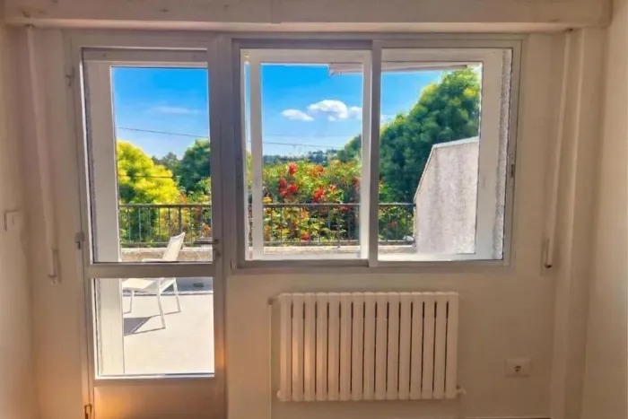
Walk with spirit, rest like you are home
A whole house in Arzúa for you and your group, right on the Camino.
Book at Casa Buen Camino, ArzúaOur recommendations: the flavour and lore of the Camino
To make your experience complete, this is what awaits you when you start walking.
Food
The Camino is a journey of flavours, from the Galician broth and pulpo á feira of the last stages to the pulses of Castile or the wines of La Rioja.
Leisure
Evenings in village squares, sharing stories with other pilgrims, are the soul of the journey.
Landmarks
Medieval bridges, Gothic cathedrals and paths that have been walked for over a thousand years.
Customs and culture
From the greeting "Buen Camino!" to the gesture of leaving a stone at the Cruz de Ferro, there are traditions that go beyond the religious.
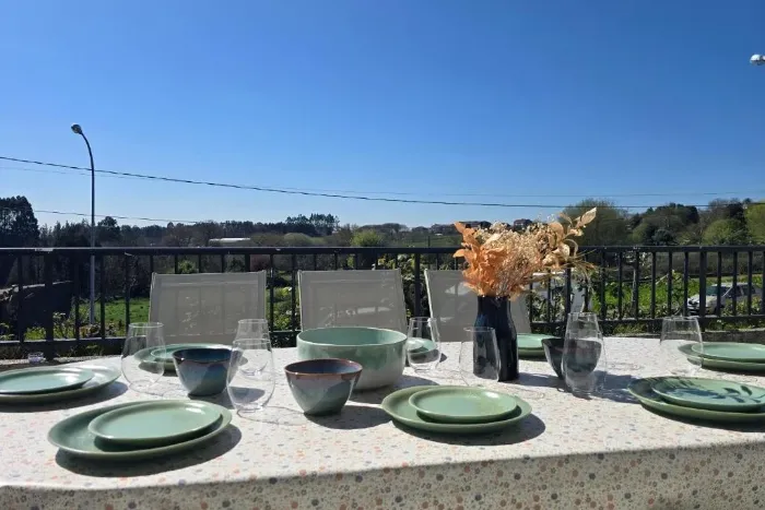
After the effort, a table in the open air
A terrace with barbecue and views over the Galician countryside: the best end to your stage.
Book at Casa Buen Camino, ArzúaHow to get to Sarria and support on the way
This is how you can get to Santiago and from there go to Sarria to start walking, or to Finisterre if you want to head for the coast. These are the main connections.

| Origin - Destination | Timetable (Ref. Mon–Fri) | Duration | Approx. price |
|---|---|---|---|
| Santiago ⮕ Sarria | Main departure: 11:00 | 2h 05min | 11.00€ - 14.00€ |
| Santiago ⮕ Finisterre | From 07:00 to 19:00 (every 1–2 h) | 1h 45min - 2h 55min | 6.00€ - 8.50€ |
⚠️ Important note: prices and timetables are indicative and correspond to services of Monbus. At weekends frequencies may be significantly reduced.
🔗 Recommendation: always check real-time availability at monbus.es before travelling.
🚕 Taxi contacts by town
- Sarria
- +34 982 530 000
- Portomarín
- +34 982 545 000
- Palas de Rei
- +34 982 380 000
- Arzúa
- +34 981 500 000
- O Pedrouzo
- +34 981 510 000
- Santiago
- +34 981 569 292
* The numbers shown are local dispatch centres. Available 24 h.
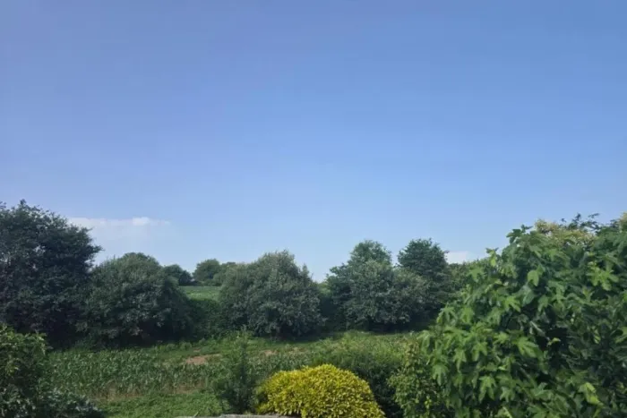
Santiago is close. Arrive rested.
Spend the night in Arzúa and take on the last stages with fresh legs.
Book at Casa Buen Camino, ArzúaFrequently asked questions about the Camino Francés
How many kilometres is it from Sarria to Santiago?
About 115 km in five stages, more than the 100 km minimum needed to obtain the Compostela.
How many days do I need?
Five stages of between 19 and 29 km: five days at a normal pace. If you want to split the longest stage, Palas de Rei – Arzúa (28.8 km), you can stop in Melide and do it in six.
How many stamps do I need each day?
Over the last 100 km you need at least two stamps a day in your credential to be able to request the Compostela.
How do I get to Sarria?
The easiest way is to take a bus from Santiago (Lavacolla airport and high-speed train station): it takes a little over two hours. Check timetables at monbus.es.
Which is the longest stage?
Palas de Rei – Arzúa, at about 28.8 km. The shortest is Arzúa – O Pedrouzo, at about 19.3 km.
Do I need to book accommodation?
In high season it is advisable to book in advance, because the last 100 km are very busy.
How much should my backpack weigh?
No more than 10% of your body weight, including water and food. Backpacks of 30 to 40 litres with a hip belt are normal.
How can I book at Casa Buen Camino?
You can book directly on our website, by phone or WhatsApp, or through platforms such as Booking and Airbnb. If you book with us directly, it is always 10% cheaper.
What is the maximum capacity of the house?
The house sleeps up to 8 people, in 3 spacious bedrooms and a sofa bed.
Do you offer specific services for pilgrims?
Yes. You can keep your bike inside the house, in the entrance hall, we have a washing machine and dryer and we are right where the Palas de Rei – Arzúa stage ends.
Are pets allowed in the accommodation?
Pets are allowed as long as the house rules are respected: they cannot enter the living space and have a designated area.
Compare the three Caminos
Choose according to your time and fitness. All three meet in Arzúa.
| Camino | Route | Km | Stages | Character |
|---|---|---|---|---|
| Camino Francés | Sarria → Santiago | ≈ 115 | 5 | Medium level · the busiest |
| Camino del Norte | Irún → Santiago | ≈ 820 | 34–36 | Demanding · Cantabrian coast, quieter |
| Camino Primitivo | Oviedo → Santiago | ≈ 320 | ≈ 14 | Demanding · mountains, the oldest |
From Arzúa there are two stages (about 39 km) to Santiago on the same path.
Plan and organise your Camino Francés
Stage planner
Pick your start date, pace and departure time: we calculate the date, approximate arrival time for each stage and whether you would arrive after sunset.
Approximate estimate: includes a 20-minute break every 90 minutes of walking, with no long stops or detours. Rain or fog can lengthen each stage.
Backpack checklist
Tick what you already carry; it is saved in your browser and you can print it.
Backpack weight
Rule of thumb: no more than 10% of your body weight, water and food included.
Weather on the Camino
Useful links
casa buen camino arzúa
Servicios
At Casa Buen Camino we look after every detail so you rest well after your stage in Arzúa: a calm, family atmosphere with everything you need.
Online check-in
Do the digital registration before you arrive and, at the door, all you will have to do is rest.
Arzúa guide
A personal selection of what we like most about Arzúa: where to eat, what to see and the traditions of the town.
Book at Casa Buen Camino
Finishing your stage in Arzúa? Book the whole house for your group, with room for 8 people.
See dates and bookOther Caminos that pass through Arzúa
Map and elevation profile of the Camino Francés
The whole route with the stages in colour. Tap a stage on the map to open its guide.
Elevation profile
Swipe to see the full profile →
Stages
- 1Sarria – Portomarín22.4 km · 339–661 m
- 2Portomarín – Palas de Rei25.0 km · 354–723 m
- 3Palas de Rei – Arzúa28.8 km · 314–556 m
- 4Arzúa – O Pedrouzo19.3 km · 264–409 m
- 5O Pedrouzo – Santiago de Compostela19.8 km · 253–390 m
Tools for the day
- Camino de Santiago forecast (MeteoGalicia)
- Weather warnings (MeteoGalicia)
- Emergencies: 112 (SOS Galicia). Save the number before you set off.
Live weather map
Always check the official MeteoGalicia forecast before you set off.
Track based on open data from OpenStreetMap (© contributors, ODbL) and elevations from an open digital terrain model; values may differ by a few metres. Weather and warnings: MeteoGalicia (Xunta de Galicia). Always follow the yellow arrows and check the official forecast before setting off.
📸 The Camino in pictures
A glimpse of what awaits you on the trail.
 Boente
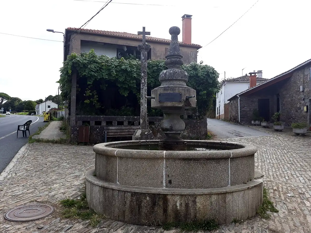 Boente
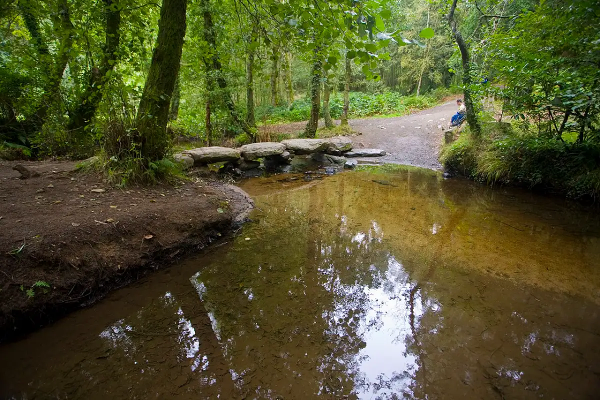 Near Arzúa
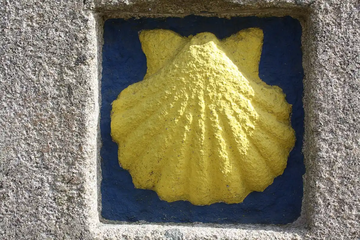 Scallop shell waymark · Melide
 Sarria
 Portomarín
 Monte do Gozo
 Catedral de Santiago
 Waymark · Paradela
 Church · Portomarín
Photos from Wikimedia Commons / Pexels, resized.