
O Pedrouzo – Santiago de Compostela stage: Camino Francés guide
Goal: Santiago de Compostela
Introduction
It is the last stage: a path with eucalyptus, Monte do Gozo and, at last, the towers of the Cathedral. It is short and gentle in profile, but you will very likely walk it with a knot in your stomach from sheer excitement.
Stages
O Pedrouzo – Santiago de Compostela stage
Total km
19.4 KM
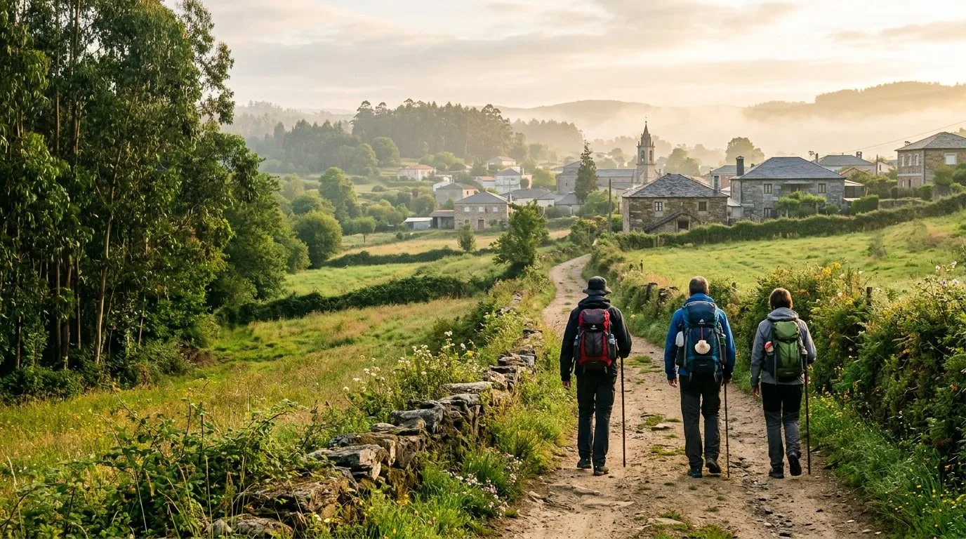
Sleep in Arzúa before the last stages
Casa Buen Camino is in Arzúa, about 39 km from Santiago. If you are planning the end of your Camino, it will be a pleasure to welcome you and let you rest well before reaching the Obradoiro.
What you will find at the house:
- Location: 400 metres from the centre of Arzúa, with shops and restaurants nearby.
- A house just for you: we rent it whole, for up to 8 people.
- Personal attention: we look after you ourselves, by phone or WhatsApp.
- Place secured: book ahead and arrive without worrying about accommodation.
Book at Casa Buen Camino
O Pedrouzo – Santiago stage: map and summary
Casa Buen Camino
About 19 km, with the eucalyptus of the start, Lavacolla, Monte do Gozo and the entry into Santiago through San Lázaro and the Porta do Camiño.
Key tip: excitement makes you speed up, but climb Monte do Gozo calmly. From there you will see the towers of the Cathedral for the first time.
It is the end of a Camino of many days: seeing the Cathedral, hearing the bagpipes and reaching the Obradoiro. Set aside some time to enjoy it without rushing.
Walking route on Google Maps
Open the route in Google Maps ↗
Google’s walking route is a guide only. On the Camino, always follow the yellow arrows.
Stage 33 summary
Distance: 19.8 km.
- Difficulty: low, gentle profile.
Estimated time: 4.5 – 5 hours of walking.
Highest point: 380 m (Monte do Gozo).
Lowest point: 250 m (Santiago de Compostela).
- Water: very frequent. Being a semi-urban area, there are fountains and cafés almost every kilometre.
- Monte do Gozo (km 15): here the towers of the Cathedral appear for the first time. According to tradition, the first in the group to see them is the “king of the expedition”. The mood is one of euphoria and nerves.
- Entering the city: as you come down from Monte do Gozo towards San Lázaro you enter Santiago, and crossing the Porta do Camiño you are in the historic centre. With luck, you will hear a bagpipe.
- Highlights: reaching the Praza do Obradoiro, dropping your backpack and looking up at the façade of the Cathedral.

What to see on the stage
- Lavadoiro de Lavacolla: medieval pilgrims used to wash here before entering the holy city. It is a symbolic moment to “wash the road away”.
- Climb to Monte do Gozo: at the top you will see the towers of the Cathedral for the first time. The statue of the pilgrims pointing towards the city is the classic photo.
- Entry through San Lázaro: after days of paths, you are back on tarmac. The Porta do Camiño takes you into the historic centre.
- Before you arrive: if you pass through Arzúa before this stage, at Casa Buen Camino we welcome you with a whole house, quiet and calm, so you reach the Obradoiro rested.

A stage to enjoy
It is a kind day for the legs. From O Pedrouzo there is a gentle climb to Monte do Gozo, the highest point of the stage (380 m), and then a gentle descent to the old town of Santiago.
Even if the odometer says 19.8 km, perhaps the hardest part is managing the emotions and the accumulated tiredness of the whole Camino.
It is a flat stretch, downhill after Monte do Gozo, which invites you to speed up. But it is better to go slowly and savour the last kilometres.
Take care entering the city
The move from rural to urban surroundings needs some attention. In Lavacolla you can stop to freshen up, and in the last kilometres it is worth watching the arrows carefully through San Lázaro and the historic centre up to the Obradoiro.
Recommendations for the final stage
- Eat and drink well: carry water and something to nibble. With the excitement it is easy to forget to eat.
- Check your feet: there are stretches of urban tarmac, and chafing is very annoying.
- No rush: enjoy the atmosphere at Monte do Gozo and the company of other pilgrims.
- Listen to your body: if you are tired or overwhelmed, stop for a moment. You only arrive in Santiago for the first time once.
Point of interest Kilometre Altitude O Pedrouzo 0 km 310 m Lavacolla 9,5 km 330 m Monte do Gozo 15 km 380 m Porta do Camiño 17,5 km 260 m Santiago Cathedral 19,8 km 250 m

The end of the Camino, step by step
1. From O Pedrouzo to Lavacolla (0 – 9 km)
You leave O Pedrouzo with your heart racing. The Camino goes back into eucalyptus woods, with a gentle, gradual climb. You skirt Lavacolla airport and hear the planes go by.
2. Lavacolla (9 – 11 km)
Lavacolla is one of the places with the most history on the Camino Francés.
- Tradition: in the stream that crosses the village, medieval pilgrims washed and changed their clothes to enter Santiago clean.
- Today: it is a good place for the last coffee before climbing Monte do Gozo.
3. Climb to Monte do Gozo (11 – 15 km)
You climb a tarmac track up to San Marcos, and from there to Monte do Gozo (Mons Gaudii), where emotions overflow.
- First sight: from this viewpoint the towers of the Cathedral appear for the first time. According to tradition, whoever sees them first is the “king of the expedition”.
- What to see: the monument to the pilgrims and the sculpture commemorating the visit of Pope John Paul II, with a lively atmosphere of walkers from all over the world.
4. San Lázaro and the entry into the city (15 – 17.5 km)
As you come down from Monte do Gozo you reach the San Lázaro district, where the Camino is already urban. You walk wide avenues towards the historic centre, and the noise of the city mixes with the click of walking poles.
5. The old town (17.5 – 19 km)
You enter the monumental area through the Porta do Camiño. From here every step is on stones trodden by millions of pilgrims for over a thousand years.
- Route: you pass along the Rúa das Casas Reais and the Praza de Cervantes. The narrow streets and arcades give shade.
- The moment: under the arch of the Pazo de Xelmírez a bagpipe is often playing, and then you know there is very little left.
6. Praza do Obradoiro (19.8 km)
When you reach the Obradoiro, the square opens up and in front of you is the façade of the Cathedral.
- The moment: drop your backpack, sit on the granite and breathe. After so many kilometres, it is normal to get emotional.
- The finish: after the hug to the Apostle and the visit to the crypt, you can collect your Compostela at the Pilgrim’s Office.
| Point of interest / place | Partial km | Cumulative km | To Santiago |
|---|---|---|---|
| O Pedrouzo (start of stage) | 0,0 km | 0,0 km | 19,8 km |
| San Antón | 2,9 km | 2,9 km | 16,5 km |
| Amenal | 0,8 km | 3,7 km | 15,7 km |
| Lavacolla (River of Purification) | 5,7 km | 9,4 km | 10,0 km |
| Vilamaior | 1,1 km | 10,5 km | 8,9 km |
| San Marcos | 3,6 km | 14,1 km | 5,3 km |
| Monte do Gozo (first sight of the Cathedral) | 0,9 km | 15,0 km | 4,4 km |
| San Lázaro (entering the city) | 2,2 km | 17,2 km | 2,2 km |
| Porta do Camiño (historic centre) | 1,5 km | 18,7 km | 0,7 km |
| SANTIAGO (Cathedral - Obradoiro) | 0,7 km | 19,8 km | FINISH! |
Practical tips
- Services: a stage with lots of infrastructure: fountains, bars and hostels. You can walk light.
- Stamps: the last 100 km require two stamps a day. Today you can stamp in O Pedrouzo, in Lavacolla and at Monte do Gozo.
- Energy: although it is short and gentle in profile, it is the end of many days of walking. Carry water and rest when you need to.
- At Monte do Gozo: take the photo with the statue of the pilgrims, and give yourself a while to look at the towers of the Cathedral calmly.
- In Lavacolla: some bars offer artistic stamps; it is worth asking for them.
- Proximity effect: so close to Santiago, it is easy to speed up. Better to take it calmly and enjoy the entry into the city.
Services along the way
- Cash machines: in O Pedrouzo (at the start) and in Santiago (at the end). There are few in the villages in between.
- Health: there are health centres with emergency care in O Pedrouzo and in Santiago.
- Pharmacies: in O Pedrouzo and in Santiago. During the stage there are few outside the larger towns.
| Place | Distance (km) | Restaurants | Pharmacy | Cash machine |
| Arzúa | 0 km | Sí | Sí | Sí |
| Calle | 6,7 km | Sí | No | No |
| Salceda | 11,1 km | Sí | No | No |
| Santa Irene | 16,3 km | Sí | No | No |
| O Pedrouzo | 19,3 km | Sí | Sí |

| Service | Location / key point | Contact / local note |
|---|---|---|
| 🚑 Medical emergencies | O Pedrouzo (PAC) Santiago (Hospital Clínico) | Emergencies: 112 / PAC Santiago: Galeras. |
| 💊 Pharmacies | O Pedrouzo, Lavacolla and Santiago | In Santiago there are several 24h pharmacies in the centre. |
| 🏧 Cash machines (ATM) | O Pedrouzo Lavacolla Santiago (historic centre) | Plenty of cash machines as you enter the city. |
| 📜 Pilgrim’s Office | Santiago (Rúa de Carretas, 33) | Place to collect your official Compostela. |
| ℹ️ Tourist Information | Santiago (Rúa do Vilar, 63) | Cultural maps and Cathedral opening times. |
Frequently asked questions
Is it a good idea to split this stage?
At 19.8 km, this is the “final sprint” stage. Being short and gentle in profile, it is not usually split. However, some pilgrims prefer to sleep at Monte do Gozo (4.5 km from the Cathedral) so they can enter Santiago first thing in the morning, attend the Pilgrim’s Mass and see the Botafumeiro in action without rushing. Even so, starting from O Pedrouzo is the most popular option for living the triumphant entry in a single morning.
What atmosphere will I find on this stretch?
Pilgrims from all the routes come together here, and you can feel it: euphoria, camaraderie and a touch of nostalgia. It is a good moment to swap contact details with the people you have met along the way and to hear the bagpipes on arrival.
Where to stamp your credential?
Remember that for the Compostela you need two stamps a day over the last 100 km. For this stage we recommend:
- Parish of San Vicente de Arca (O Pedrouzo): before setting off.
- Chapel of San Marcos (Monte do Gozo): a very emblematic stamp before you see the Cathedral.
- Pilgrim’s Office (Santiago): the final stamp, after your route is checked.
A tip: many bars and cafés in Lavacolla have artistic stamps, don’t be shy about asking for them.
Services sheet: O Pedrouzo – Santiago
| Service | Location / Details | Contact / Note |
| 🚑 Health centre (PAC) | O Pedrouzo: Av. de Santiago.
Santiago: Galeras Health Centre. | Emergencies: 112 / 061 |
| 💊 Pharmacies | O Pedrouzo and Santiago centre. | In Santiago you will find 24h pharmacies in the new town and the old town. |
| 🏧 Cash machines (ATM) | O Pedrouzo and Santiago (historic centre). | Plenty as you enter the city (San Lázaro district). |
| 📜 Pilgrim’s Office | Santiago: Rúa de Carretas, 33. | Needed to process your Compostela. |
| 🎒 Backpack transport | Collection services in O Pedrouzo. | Ask at your accommodation about the final transfer to Santiago. |
Next step: our Santiago de Compostela guide

Where to eat in Arzúa
Cheese and octopus. You can’t leave Arzúa without trying Arzúa-Ulloa cheese. Near the centre you will find pulperías (octopus restaurants) and traditional restaurants where the food is very good.
A tip: try the cheese with quince paste for dessert, it’s the classic way.

Culture and traditions
The town and the Camino. Arzúa grew up alongside the Jacobean route. It is a pleasure to stroll through the old town and look into the Magdalena chapel.

Leisure in Arzúa
Nature close by. If you have energy left, head to the Fervenza das Hortas or the Ribadiso recreation area, a lovely spot to rest your feet before the last stage.

What to do in Arzúa
Beyond walking. There are short hiking routes and centres where they show you how cheese and honey are made. A good plan if you take a rest day before reaching Santiago.
Interactive map, elevation and weather for this stage
The stage on the map, its elevation profile and useful tools for the day. The track is approximate: always follow the yellow arrows.
Elevation profile
Swipe to see the full profile →
Tools for the day
- Weather in Santiago de Compostela
- Estimate your arrival time
- Sunrise and sunset today
Emergencies: 112 (SOS Galicia). Save the number before you set off.
Track based on open data from OpenStreetMap (© contributors, ODbL) and elevations from an open digital terrain model; values may differ by a few metres. Weather and warnings: MeteoGalicia (Xunta de Galicia). Always follow the yellow arrows and check the official forecast before setting off.
Services on this stage
Shops, pharmacies, ATMs and health centres along the route, listed by kilometre. They also appear as coloured dots on the interactive map above. Slide your finger along the elevation profile to see that point on the map.
📸 The Camino in pictures
A glimpse of what awaits you on the trail.
 Monte do Gozo
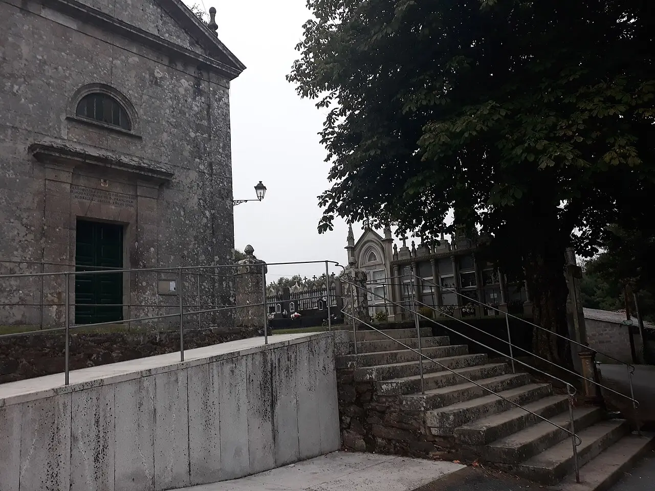 Lavacolla
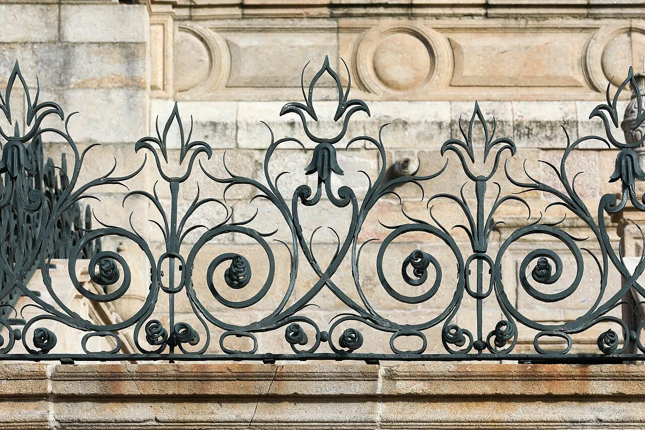 Catedral de Santiago
Photos from Wikimedia Commons, resized.