
Camino Primitivo to Santiago: stages to Arzúa and practical guide
The Camino Primitivo is considered the oldest of the Caminos to Santiago. It starts in Oviedo, crosses the Asturian mountains and enters Galicia over the Alto del Acebo; it passes through Lugo, joins the Camino Francés at Melide and reaches Arzúa, about 39 km from Santiago.
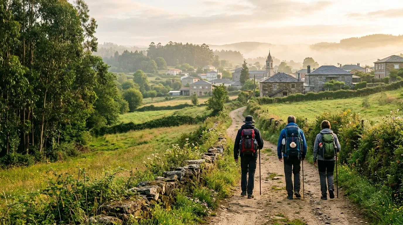
The Camino Primitivo in four facts
About 320 km
From Oviedo to Santiago, in about 14 stages on foot.
The oldest
Its origin is attributed to King Alfonso II's journey from Oviedo in the 9th century.
Mountains
It has sections with big climbs, such as the Puerto del Palo and the Alto del Acebo, at about 1,100 m.
Lugo and Melide
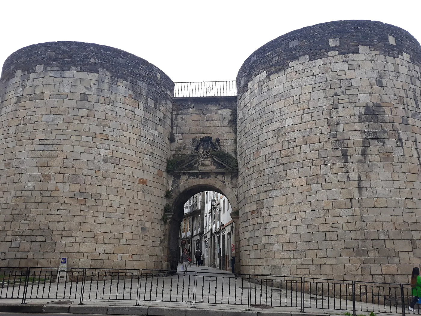
It passes the Roman walls of Lugo, a World Heritage Site, and joins the Francés at Melide.
In 2015 the Camino de Santiago Northern Routes, including the Primitivo, were added to the UNESCO World Heritage list. It is a quiet mountain route with fewer places to stay than the Camino Francés.
The full route, from Oviedo to Arzúa
These are the usual stages, with distances rounded. They are approximate: they change depending on the guide and the variant you choose.
Asturias · 6 stages · ≈ 134 km
| Stage | Approx. km | |
|---|---|---|
| Oviedo – Grado | 25 | |
| Grado – Salas | 22 | |
| Salas – Tineo | 19 | |
| Tineo – Pola de Allande | 28 | The Hospitales variant forks here |
| Pola de Allande – La Mesa | 22 | |
| La Mesa – Grandas de Salime | 18 |
At Borres, before Pola de Allande, the path forks: the Hospitales variant is high mountain, without services and only advisable in good weather; the traditional route goes through Pola de Allande.
Galicia · 6 stages to Arzúa · ≈ 142 km
| Stage | Approx. km | |
|---|---|---|
| Grandas de Salime – A Fonsagrada | 26 | |
| A Fonsagrada – O Cádavo | 24 | |
| O Cádavo – Lugo | 31 | |
| Lugo – Ferreira | 26.5 | |
| Ferreira – Melide | 20 | Joins the Camino Francés |
| Melide – Arzúa | 14 |
From Arzúa, the Primitivo shares the last two stages with the Camino Francés (Arzúa – O Pedrouzo and O Pedrouzo – Santiago, about 39 km).
Source of the Asturias distances: viajecaminodesantiago.com; the Galician stages are those of our own guides.
The Galician route, to scale
The six sections from Grandas de Salime to Arzúa, with widths proportional to their kilometres. Tap each section to see its guide.
The stages in pictures
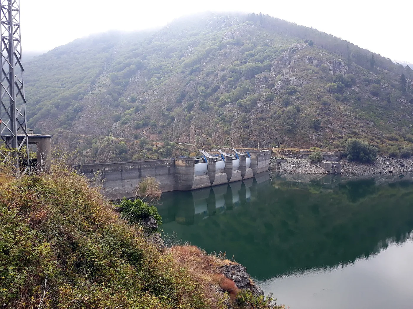 1
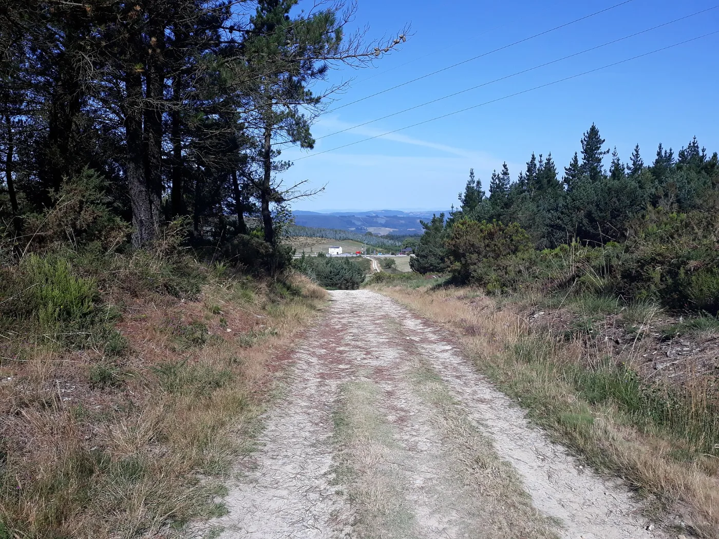 2
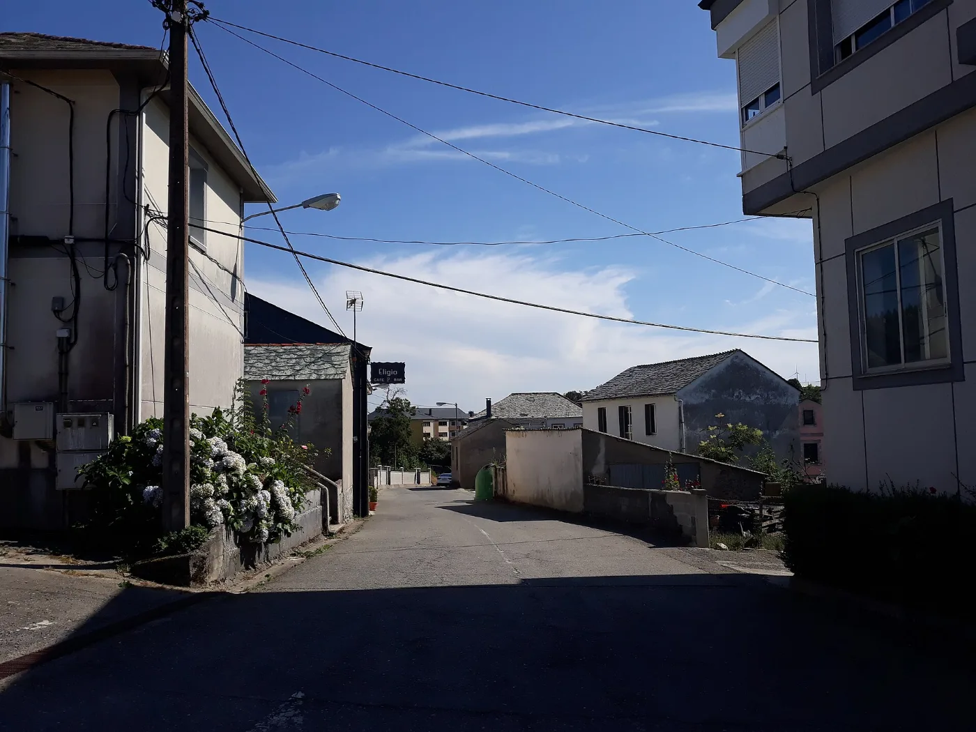 3
 4
 5
 6
The six Galician stages at a glance
| Stage | Distance | Difficulty | Time | Water and services |
|---|---|---|---|---|
| Grandas de Salime – A Fonsagrada | About 25.8 km | Medium-high | About 7 h (more in bad weather) | Few places with full services: carry water and provisions. There is a hostel in Grandas de Salime and full services in A Fonsagrada. |
| A Fonsagrada – O Cádavo | About 24.4 km | Medium-high ("leg-breaker") | 6 – 9 h depending on pace | A Fonsagrada and O Cádavo have services; there is a bar in A Lastra. Stock up in A Fonsagrada before leaving. |
| O Cádavo – Lugo | About 30.8 km | Medium | 7 – 10 h depending on pace | Few hamlets with services. Castroverde is the only intermediate town with clear services; Lugo has everything. A fountain in Gondar is marked as not drinkable. |
| Lugo – Ferreira | About 26.5 km | Medium | About 7 – 9 h | Full services only in Lugo. On the stretch to San Romao da Retorta there are few chances to restock. |
| Ferreira – Melide | About 20 km | Medium | About 5.5 h | Many hamlets, but services are not guaranteed: stock up in Melide. |
| Melide – Arzúa | About 14 km | Medium | About 3.5 – 4 h | Melide has all services; along the way there are cafés and hamlets (Furelos, Boente, Ribadiso). Arzúa has full services. |
Map and elevation profile of the Camino Primitivo
The whole route with the stages in colour. Tap a stage on the map to open its guide.
Elevation profile
Swipe to see the full profile →
Stages
- 1Grandas de Salime – A Fonsagrada25.5 km · 567–1104 m
- 2A Fonsagrada – O Cádavo24.4 km · 682–1011 m
- 3O Cádavo – Lugo30.8 km · 409–848 m
- 4Lugo – Ferreira26.5 km · 371–601 m
- 5Ferreira – Melide20.4 km · 432–700 m
- 6Melide – Arzúa14 km · 316–464 m
Tools for the day
- Camino de Santiago forecast (MeteoGalicia)
- Weather warnings (MeteoGalicia)
- Emergencies: 112 (SOS Galicia). Save the number before you set off.
Live weather map
Always check the official MeteoGalicia forecast before you set off.
Track based on open data from OpenStreetMap (© contributors, ODbL) and elevations from an open digital terrain model; values may differ by a few metres. Weather and warnings: MeteoGalicia (Xunta de Galicia). Always follow the yellow arrows and check the official forecast before setting off.

Your stretch, with services
Choose where you start and where you finish: we add up the kilometres, time and services along the way.
The stages up to Arzúa
From Oviedo to Melide the path is its own; after that it shares its route with the Francés. These are the stages, with the key information on each.
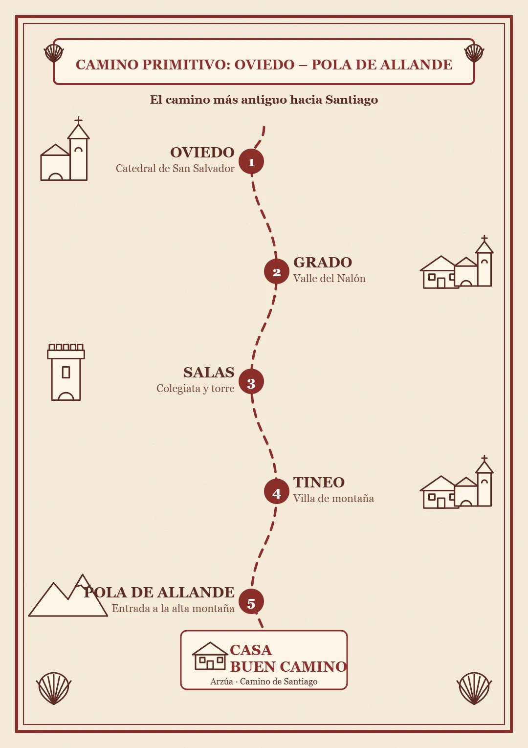
Oviedo – Grandas de Salime
Six mountain stages before entering Galicia: Oviedo – Grado (≈ 25 km), Grado – Salas (≈ 22 km), Salas – Tineo (≈ 19 km), Tineo – Pola de Allande (≈ 28 km), Pola de Allande – La Mesa (≈ 22 km) and La Mesa – Grandas de Salime (≈ 18 km). At Borres you can choose the high-mountain Hospitales variant.
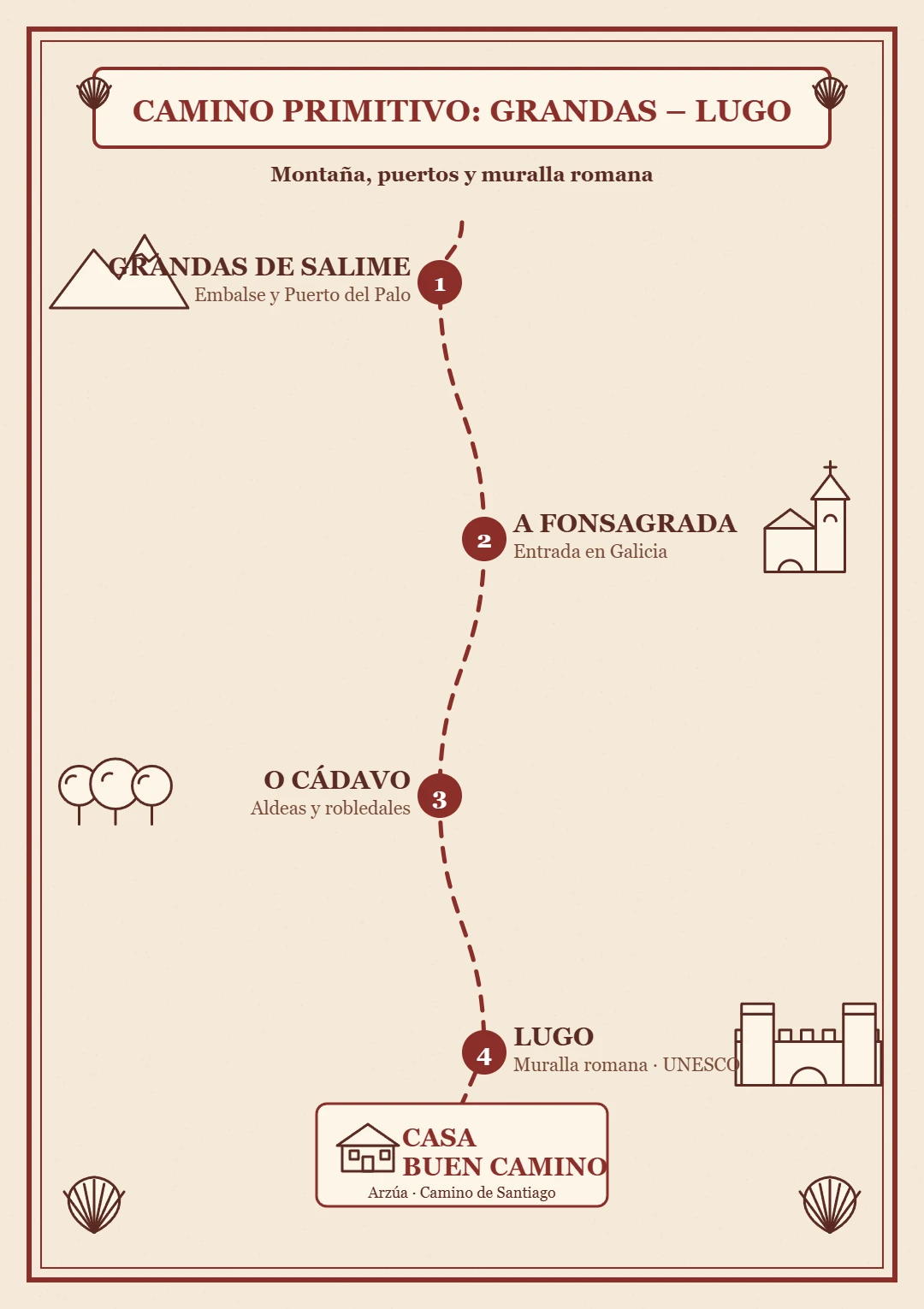
Grandas de Salime – Lugo
Stage Grandas de Salime – A Fonsagrada
- Key tip
- Always follow the yellow arrows. With fog, rain or snow at the pass, visibility drops sharply.
- Water and services
- Few places with full services: carry water and provisions. There is a hostel in Grandas de Salime and full services in A Fonsagrada.
- What to see
- Chao Samartín (a Bronze Age hillfort), the hermitage of San Lázaro de Padraira, the old pilgrim hospital of Fonfría and the church of Santa María in A Fonsagrada.
- Food
- The area is known for meats, trout, octopus, Oscos cheese and bean stews. No specific food data for this stage.
Stage by stage
- 0 – 5.2 km · Grandas de Salime – Castro. You leave Grandas by the Carmen chapel and climb steadily. Near Castro is the Chao Samartín hillfort, a fortified Bronze Age site with a museum.
- 5.2 – 9.7 km · Castro – Peñafuente. Muddy forest sections. At Peñafuente are the church of Santa María Magdalena and a fountain-washhouse; the hermitage of San Lázaro de Padraira is nearby.
- 9.7 – 13.9 km · Climb to the Alto del Acebo and entry into Galicia. This is the final climb to the summit, among wind turbines. In O Acevo, the first Galician village, a small plaque marks the border.
- 13.9 – 18.1 km · O Acevo – Cabreira – Fonfría. Gentle descent on a prepared track. Fonfría had an old pilgrim hospital.
- 18.1 – 23.8 km · Barbeitos, Silvela and Paradanova. Hamlets with the chapel of Santa Bárbara del Camino and that of Santa Cruz in Paradanova. Watch out for stretches alongside the road with no verge.
- 23.8 – 25.8 km · Paradanova – A Fonsagrada. The last steep climb to A Fonsagrada, whose name comes from "fontem sacratam" (sacred spring).
Stage A Fonsagrada – O Cádavo
- Key tip
- It has two hard points: the Cuesta del Sapo (between Paradavella and A Lastra) and the ramp up to A Fontaneira. Stock up on water and food in A Fonsagrada.
- Water and services
- A Fonsagrada and O Cádavo have services; there is a bar in A Lastra. Stock up in A Fonsagrada before leaving.
- What to see
- Ruins of the Hospital de Montouto (medieval origins), the Pedras Dereitas dolmen, the churches of San Xoán and San Lourenzo and the Holy Fountain of A Fonsagrada.
- Food
- Pork products, mountain stews, chestnuts, mushrooms, lacón con grelos and butelo.
Stage by stage
- 0 – 1.5 km · A Fonsagrada – O Padrón. You leave Plaza de España beside the church. O Padrón has the church of San Xoán. There are frequent crossings of the road.
- 1.5 – 7.3 km · O Padrón – Hospital de Montouto. Pastures and a pine wood, with mud and constant ups and downs up to Montouto.
- 7.3 – 12.3 km · Montouto – Paradavella. A pass with the ruins of the Hospital de Montouto and a descent through forest to Paradavella.
- 12.3 – 17.3 km · Paradavella – A Lastra. A very demanding ascent known as the Cuesta del Sapo. In A Lastra there is a church and a bar.
- 17.3 – 19.7 km · A Lastra – A Fontaneira. Asphalt track with an ascent and a dirt path to A Fontaneira, with a cemetery and a granary.
- 19.7 – 24.4 km · A Fontaneira – O Cádavo. Road and pine wood, with a cobbled descent to O Cádavo.
Stage O Cádavo – Lugo
- Key tip
- Stock up before Castroverde and make your main stop there. Take great care on the stretch along the road verge after Daquelcabo.
- Water and services
- Few hamlets with services. Castroverde is the only intermediate town with clear services; Lugo has everything. A fountain in Gondar is marked as not drinkable.
- What to see
- Church of Santa María de Vilabade, castle and Fonte dos Nenos in Castroverde and the Roman walls of Lugo, a World Heritage Site, with its cathedral.
- Food
- In the area you eat pulpo á feira, empanada, broth, stew and Arzúa-Ulloa cheese; in Lugo, traditional Galician cuisine.
Stage by stage
- 0 – 8.5 km · O Cádavo – Pradeda – Vilabade – Castroverde. Exit through the Rosalía de Castro park. A long climb on a cobbled path to Vilabade, with the church of Santa María ("cathedral of Castroverde"), and descent to Castroverde.
- 8.5 – 14.6 km · Castroverde – Souto de Torres – Vilar de Cas. Castroverde has the Fonte dos Nenos, the church of Santiago and the castle keep. Then chestnut woods with stone walkways.
- 14.6 – 18.3 km · Vilar de Cas – Soutomerille – Gondar. Optional detour to a pre-Romanesque church in Soutomerille. Gondar has the church of Santa María.
- 18.3 – 21.3 km · Gondar – Bascuas – Daquelcabo. Moderate ascent and asphalt track to a small hamlet with a chapel.
- 21.3 – 25.5 km · Daquelcabo – As Casas da Viña. A stretch with a dangerous passage along the road verge and a return to the route among pastures.
- 25.5 – 30.8 km · As Casas da Viña – Lugo. Crossing of the A-6 motorway and the ring road, descent to the Chanca river and entry through the Porta de San Pedro in the Roman wall.

Lugo – Melide – Arzúa
Stage Lugo – Ferreira
- Key tip
- It is a long stage with a lot of country road and few chances to restock. Many pilgrims split it at San Romao da Retorta (about 18 km).
- Water and services
- Full services only in Lugo. On the stretch to San Romao da Retorta there are few chances to restock.
- What to see
- The Roman walls of Lugo and, with a short detour, the sanctuary of Santa Eulalia de Bóveda, from the late Roman period.
- Food
- In Lugo and the area you eat pulpo á feira, Arzúa-Ulloa PDO cheese and traditional Galician cuisine.
Stage by stage
- 0 – 2 km · Lugo: cathedral, wall and Ponte Vella. You leave from the cathedral, pass through the Roman wall by the Porta de Santiago and descend to the Miño over the Roman bridge to the San Lázaro district.
- 2 – 7 km · San Lázaro – Seoane. Exit through housing estates with a small climb, then tracks and local roads. From Seoane there is a detour to Santa Eulalia de Bóveda.
- 7 – 13 km · Carrigueiros, O Burgo and Bacurín. Rural stretch through hamlets, with the 13th-century church of San Miguel de Bacurín.
- 13 – 18 km · O Hospital – San Romao da Retorta. You pass San Pedro de Abaixo, the high point of the stretch, and reach San Romao da Retorta, with a hostel and the Romanesque chapel of Santa Cruz.
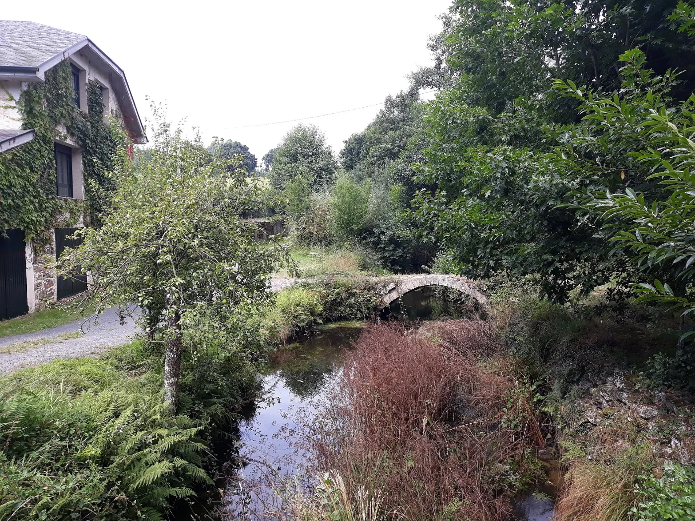
- 18 – 26.5 km · Castrelo, Pacio and Ferreira. You continue through hamlets to Ferreira, with its single-arch Romanesque bridge.
Stage Ferreira – Melide
- Key tip
- Near San Xurxo de Augas Santas there is a fork: one branch goes to Palas de Rei and the other to Melide; to follow the Primitivo choose Melide.
- Water and services
- Many hamlets, but services are not guaranteed: stock up in Melide.
- What to see
- In Melide you can see the Museo da Terra de Melide and the church of San Pedro.
- Food
- Melide is famous for pulpo á feira, served in pulpeiras and taverns. You can also try Arzúa-Ulloa PDO cheese and melindres.
Stage by stage
- 0 – 2 km · Leaving Ferreira and A Leboreira. After crossing the Ferreira bridge you climb along tracks and local roads.
- 2 – 5 km · San Xorxe, Montecelo and Merlán. Hamlets linked by old paths. Choose the Melide direction at the fork.
- 5 – 8 km · As Seixas and climb to the sierra. As Seixas has a hostel. The climb towards the Careón sierra begins.
- 8 km · O Hospital das Seixas. Highest point of the route (about 661 m) and crossing into A Coruña province.
- 8 – 14 km · Vilouriz and Vilamor. Hamlets, pastures and tracks among granaries.
- 14 – 20 km · Irago and entry into Melide. You cross the Furelos river and reach Melide, where it joins the Camino Francés.
Stage Melide – Arzúa
- Key tip
- The final climb from Ribadiso to Arzúa is felt at the end of the stage. Make the most of Melide to eat and refuel.
- Water and services
- Melide has all services; along the way there are cafés and hamlets (Furelos, Boente, Ribadiso). Arzúa has full services.
- What to see
- The Furelos bridge, the church of Boente and Ribadiso da Baixo are the landmarks of the day.
- Food
- Melide: pulpo á feira. Arzúa: artisan cheese with the Arzúa-Ulloa Designation of Origin.
Book at Casa Buen Camino, Arzúa
Stage by stage
- 0 – 1 km · Leaving Melide and Furelos. You go down to Furelos and cross its medieval bridge over the Furelos river.
- 1 – 5.6 km · Woods. Dirt path through oaks, pines and eucalyptus, with short ups and downs.
- 5.6 – 8 km · Boente. Church of Santiago of Romanesque origin and the Fonte da Saleta with its wayside cross.
- 8 – 11 km · Fraga Alta and descent to the Iso. Descent towards the Iso river valley.
- 11 – 12 km · Ribadiso da Baixo. A historic ensemble beside the Iso river, one of the most beautiful spots on the Camino.
- 12 – 14 km · Final climb to Arzúa. A short steep rise to Arzúa, a town famous for its cheese with Designation of Origin.
Where am I? Work out your Camino
Pick your stage and where you are now: we tell you how far is left and when you will arrive.
Plan your dates
Approximate calculation: everyone walks at their own pace and stops add time.
Tips for the Camino Primitivo
Book in advance. Accommodation is limited on the mountain stages, especially in Asturias and between A Fonsagrada and Lugo.
Be ready for bad weather. On the pass and the Alto del Acebo there is often fog, rain and wind: a waterproof layer and a warm layer.
Plan your stages with some margin. There are long days with a lot of climbing; it is better to have a spare day.
Carry your credential and stamp it every day so you can request the Compostela in Santiago. You need at least two stamps a day over the last 100 km.
Travel light. Your backpack should not weigh more than 10% of your body weight, and 30 to 40 litres with a hip belt is enough. See our Camino Francés guide for the full gear list.
Tried-and-tested footwear. Never break in new boots on the Camino: with long ups and downs, they should be worn in over at least 50–100 km beforehand. Flip-flops for the shower and to rest your feet are essential.
Carry cash. Although card payment is widespread, in small villages and in some hostels only cash is accepted.
Start early and carry your documents. Leaving early avoids the hottest hours and helps secure a bed in high season. Always carry your ID or passport and your health card.
The Compostela
It is granted to those who walk at least the last 100 km on foot or on horseback, or the last 200 km by bike, with at least two stamps per day in the credential. From Lugo it is about 100 km. You request it at the Pilgrim's Office in Santiago, at Rúa Carretas 33; check the current opening hours at pilgrim.es.
Useful phone numbers
- Emergencies
- 112 / 061
- Taxi in Arzúa
- +34 981 500 000
- Taxi in O Pedrouzo
- +34 981 510 000
- Taxi in Santiago
- +34 981 569 292
Help and safety for pilgrims
Walking alone
The Camino is safe and busy, especially over the last 100 km. A few simple habits still bring peace of mind: tell someone which stage you are doing and share your phone location; start in daylight and arrive before dark; avoid isolated stretches at night or in fog; choose accommodation with good reviews and book ahead in high season. And always trust your instinct: if something feels wrong, step into the nearest café or house and ask for help.
Emergencies · 112
112 is the single emergency number: it is free and works even without coverage from your own operator. Guardia Civil: 062. Galicia medical emergencies: 061. When you call, give your name, what has happened and the last village, waymarker or junction you passed.
Look after your feet and body
Blisters: seamless socks, dry feet and a plaster at the first rub, not the third. Heat: start early, drink before you feel thirsty and protect yourself from the sun. Knees and tendons: walk downhill slowly, use poles if you carry them and stop if something really hurts. Pharmacies and health centres are in the larger towns of each stage.
Transport and backpack
If one day you cannot continue, local taxis and buses link the towns along the Camino. Many pilgrims also send their backpack to the next lodging with a luggage transport service: ask at your accommodation. If you stay at Casa Buen Camino, write to us and we will point you in the right direction.
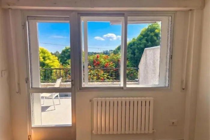
Walk with spirit, rest like you are home
A whole house in Arzúa for you and your group, right on the Camino.
Book at Casa Buen Camino, ArzúaWhat to see and eat on the Galician Way
Heritage and stops
Food along the route
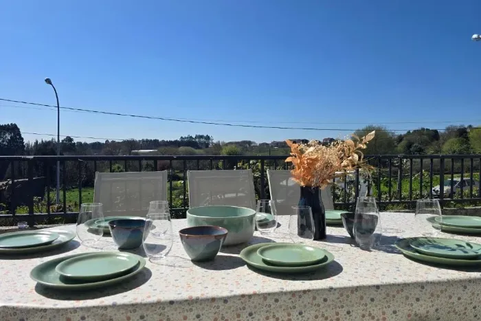
After the effort, a table in the open air
A terrace with barbecue and views over the Galician countryside: the best end to your stage.
Book at Casa Buen Camino, ArzúaFrom Arzúa to Santiago: the last two stages
From Melide the Camino Primitivo shares its route with the Camino Francés. From Arzúa it is about 39 km to the Plaza del Obradoiro, in one or two stages depending on your pace.
Stage Arzúa – O Pedrouzo
- What to see
- Hermitage and fountain of Santa Irene, the woods of O Amenal and the monument to the pilgrim Guillermo Watt.
- Tip
- A short stage but with ups and downs on forest tracks: pace yourself. At Salceda the path comes close to the N-547; take great care at the crossings.
Stage O Pedrouzo – Santiago
- What to see
- Lavadoiro de Lavacolla, Monte do Gozo (km 15), where the towers of the Cathedral first appear, and the entry via San Lázaro and the Porta do Camiño.
- Tip
- Water and cafés almost every kilometre. Watch the arrows carefully as you enter the city all the way to the Obradoiro.
Frequently asked questions about the Camino Primitivo
How many kilometres is the Camino Primitivo?
About 320 km from Oviedo to Santiago, in about 14 stages depending on the guide; the totals in guides vary by a few kilometres depending on the variants.
How many days does it take to do it all?
With the usual stages, about 14 days of walking. Many pilgrims do it in sections.
Where does the Camino Primitivo join the Francés?
At Melide. From there, Arzúa is about 14 km away and Santiago about 53 km along the shared route.
How many kilometres do I have to walk to get the Compostela?
At least the last 100 km on foot or on horseback, or 200 km by bike, with at least two stamps a day. From Lugo it is about 100 km.
Where should I start if I only have a few days?
From Lugo, in five stages to Santiago: Lugo – Ferreira, Ferreira – Melide, Melide – Arzúa, Arzúa – O Pedrouzo and O Pedrouzo – Santiago.
Is it a difficult route?
It is the most mountainous of the Caminos that reach Arzúa. In Galicia, the most demanding stages are Grandas de Salime – A Fonsagrada and A Fonsagrada – O Cádavo, with sections above 1,000 m.
Which stretches have the fewest services?
Grandas de Salime – A Fonsagrada, A Fonsagrada – O Cádavo and Lugo – Ferreira: set out with water and food.
Is the Camino Primitivo a World Heritage Site?
Yes. It is part of the Camino de Santiago Northern Routes, which were added to the UNESCO World Heritage list in 2015.
Where can I sleep in Arzúa?
At Casa Buen Camino: an entire house for up to 8 people, 400 m from the centre of Arzúa. If you book directly with us, it is 10% cheaper.
Compare the three Caminos
Choose according to your time and fitness. All three meet in Arzúa.
| Camino | Route | Km | Stages | Character |
|---|---|---|---|---|
| Camino Francés | Sarria → Santiago | ≈ 115 | 5 | Medium level · the busiest |
| Camino del Norte | Irún → Santiago | ≈ 820 | 34–36 | Demanding · Cantabrian coast, quieter |
| Camino Primitivo | Oviedo → Santiago | ≈ 320 | ≈ 14 | Demanding · mountains, the oldest |
From Arzúa there are two stages (about 39 km) to Santiago on the same path.
Arriving in Arzúa
After Melide and Ribadiso you reach Arzúa, where the Primitivo now walks together with the Camino Francés and crosses the Camino del Norte. Rest here before the last two stages.
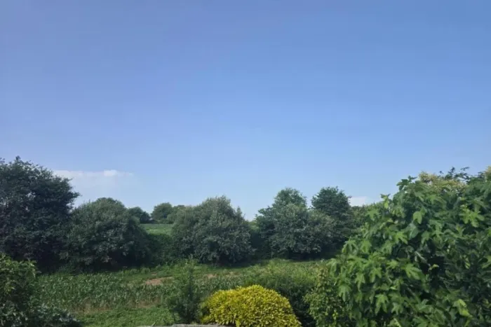
Santiago is close. Arrive rested.
Spend the night in Arzúa and take on the last stages with fresh legs.
Book at Casa Buen Camino, ArzúaPlan and organise your Camino Primitivo
Stage planner
Pick your start date, pace and departure time: we calculate the date, approximate arrival time for each stage and whether you would arrive after sunset.
Approximate estimate: includes a 20-minute break every 90 minutes of walking, with no long stops or detours. Rain or fog can lengthen each stage.
Backpack checklist
Tick what you already carry; it is saved in your browser and you can print it.
Backpack weight
Rule of thumb: no more than 10% of your body weight, water and food included.
Weather on the Camino
Useful links
Rest with us in Arzúa
We would love to welcome you at Casa Buen Camino: an entire house for up to 8 people, 400 m from the centre of Arzúa. You enter with a code, we confirm your booking within 60 minutes and, if you book directly with us, it is 10% cheaper.

📸 The Camino in pictures
A glimpse of what awaits you on the trail.
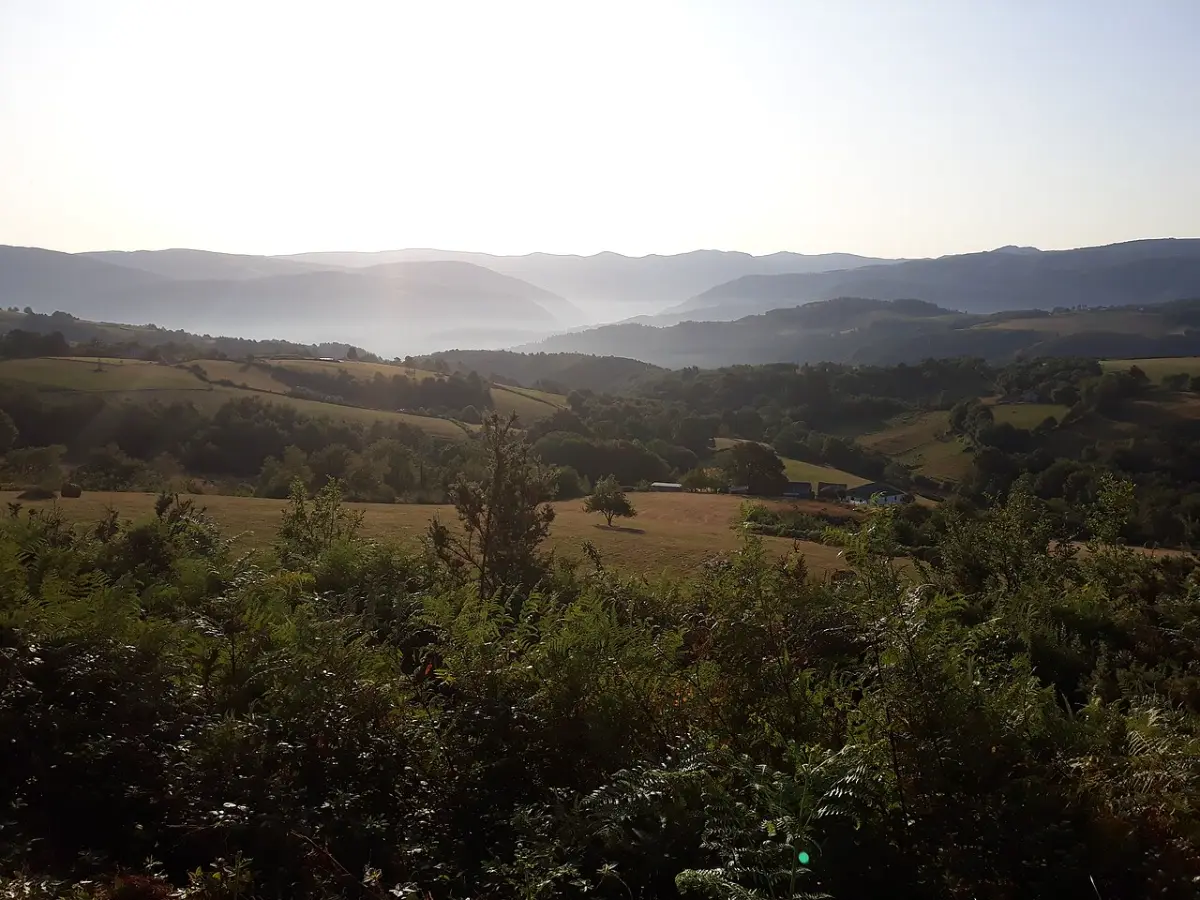 Gestoselo
 Montouto
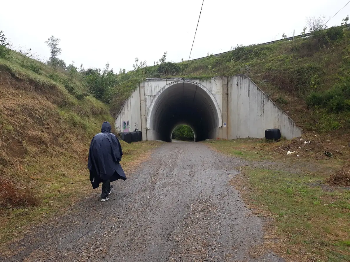 Doriga
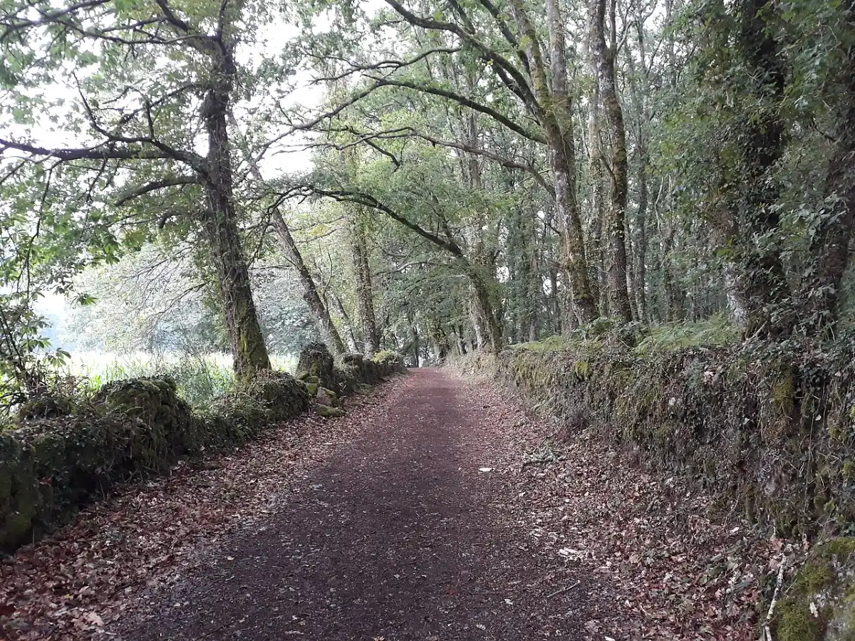 A Penalonga
 Monte de Penoucos
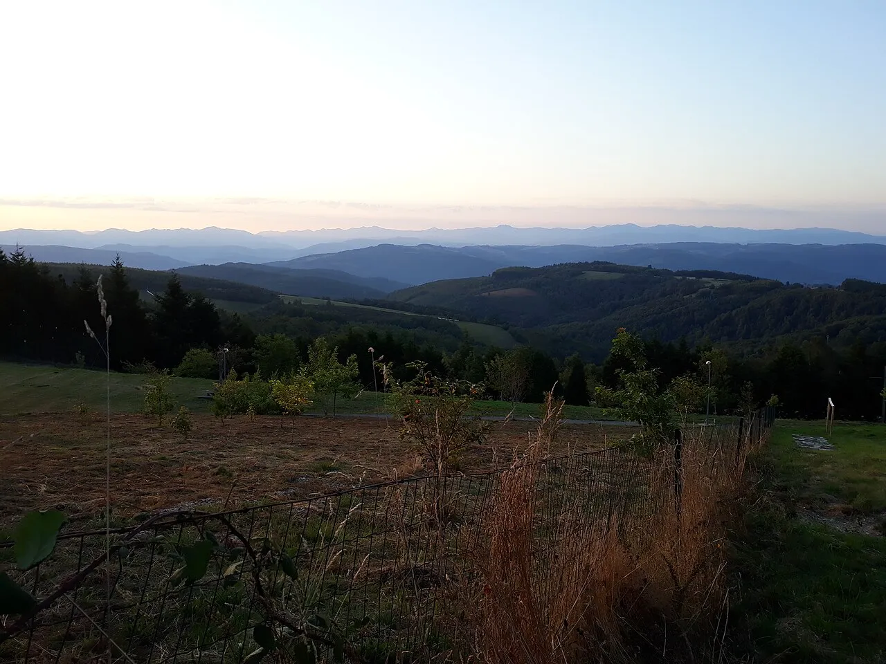 Vilardongo
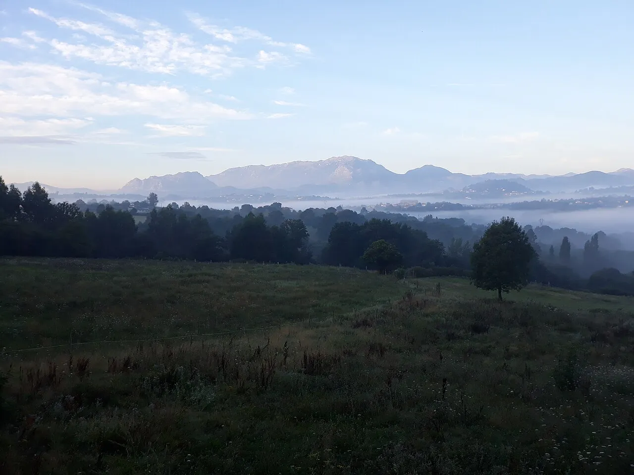 Llampaxuga
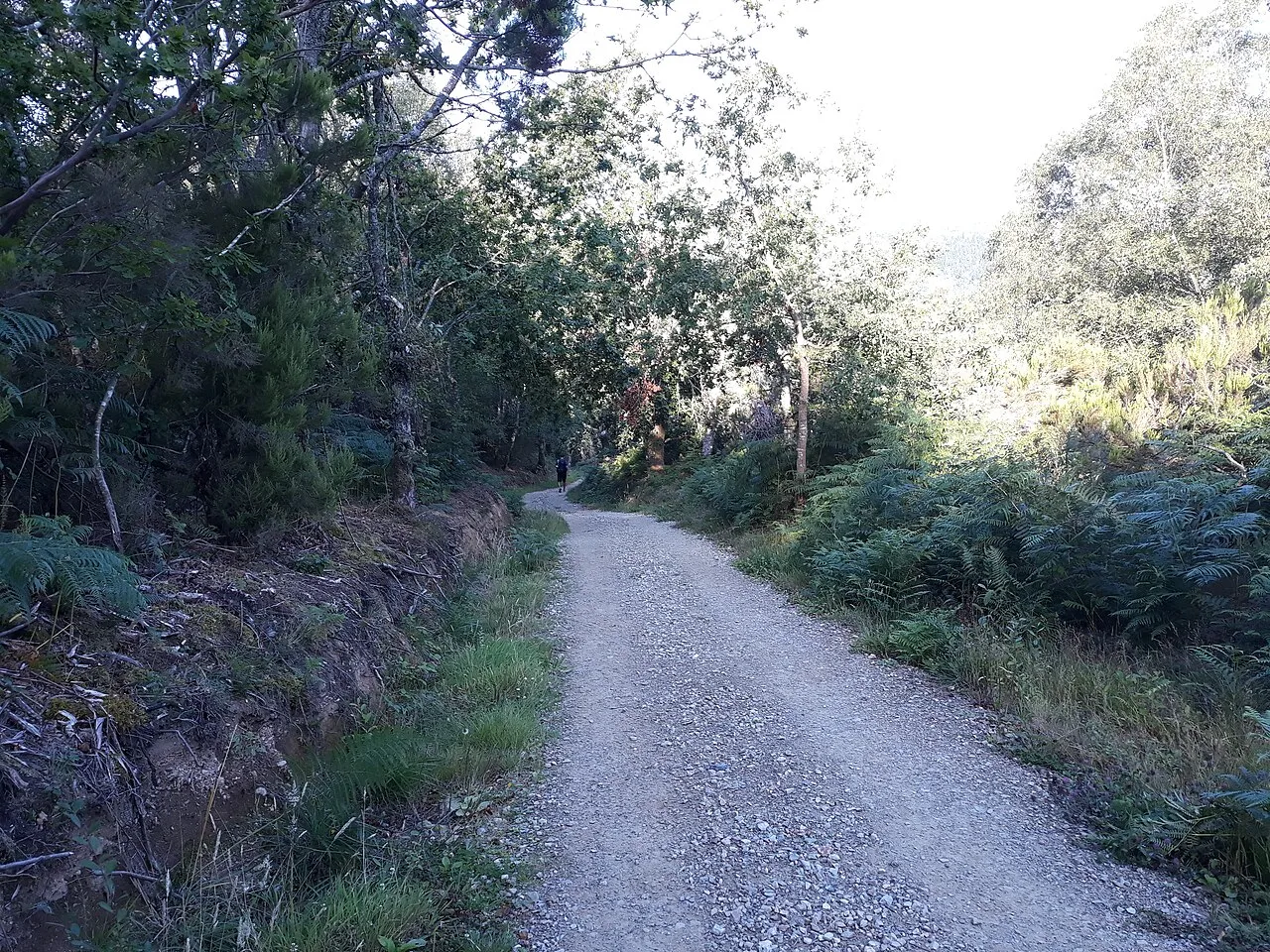 Paradavella
Photos from Wikimedia Commons, resized.
Santiago de Compostela awaits
Your arrival at the Obradoiro: what to see, what to do and where to stroll on the days you stay.
See the Santiago guide