Stage Abadín – Vilalba: Camino del Norte guide through Terra Chá
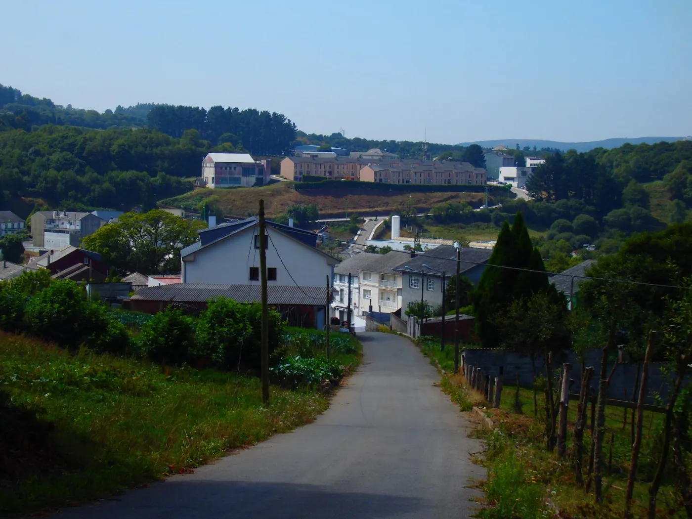
After two mountain stages the route softens and enters A Terra Chá, the great plain of Lugo. It is a pleasant day among meadows, tracks and hamlets that ends in Vilalba, the capital of the region.
Distance
About 21 km
Difficulty
Medium-low
Estimated time
5 – 6 h
Altitude
Gently rolling terrain, no big climbs
Interactive map, elevation and weather for this stage
The stage on the map, its elevation profile and useful tools for the day. The track is approximate: always follow the yellow arrows.
Elevation profile
Swipe to see the full profile →
Tools for the day
- Weather in Vilalba
- Estimate your arrival time
- Sunrise and sunset today
Emergencies: 112 (SOS Galicia). Save the number before you set off.
Track based on open data from OpenStreetMap (© contributors, ODbL) and elevations from an open digital terrain model; values may differ by a few metres. Weather and warnings: MeteoGalicia (Xunta de Galicia). Always follow the yellow arrows and check the official forecast before setting off.
Services on this stage
Shops, pharmacies, ATMs and health centres along the route, listed by kilometre. They also appear as coloured dots on the interactive map above. Slide your finger along the elevation profile to see that point on the map.
The stage section by section
Abadín – As Paredes / Castromaior
You leave via Fernandaño and Torre, among meadows and dairy farms, and enter A Terra Chá. In Castromaior there is a private hostel.
Castromaior – Martiñán
The path approaches the N-634, which you cross with care. In Martiñán there is a bar and services.
Martiñán – O Campo do Cristo
Services grouped beside the N-634, with wooden walkways through woodland and wayside crosses.
Fontao – Goiriz
A rural stretch of dirt and asphalt tracks; after rain they can be muddy.
Sete Pontes industrial estate – Vilalba
The approach through the industrial estate needs attention to the arrows. Vilalba has all services.
What to see
In Vilalba you will find the Torre de los Andrade (now a parador), the church of Santa María and the Museum of Prehistory and Archaeology.
Food and drink
Try Vilalba capon (PGI), San Simón da Costa cheese (PDO), turnip greens and Galician beef.


Practical tips
- Abadín is the best place to stock up.
- Take extra care at the N-634 crossings.
- Watch the waymarking on the way into Vilalba.
- After rain, the dirt tracks can be slow going.
- In high season, book accommodation in advance.
Frequently asked questions
How many km is Abadín – Vilalba?
About 21 km.
Is there much climbing?
No: it is a rolling stage with no big climbs.
Where can I eat?
In Abadín, in Martiñán and O Campo do Cristo (beside the N-634) and in Vilalba.
What is there to see in Vilalba?
The Torre de los Andrade, the church of Santa María and the Museum of Prehistory and Archaeology.
Is it suitable for cyclists?
It is fairly favourable, although after rain the dirt tracks can slow you down.
After the stage: rest in Arzúa
When you reach Arzúa, we would love to welcome you at Casa Buen Camino: an entire house for up to 8 people, 400 m from the centre. You get in with a code, we confirm your booking within 60 minutes and, if you book directly with us, it is 10 % cheaper.