Stage O Cádavo – Lugo: Camino Primitivo guide
This is one of the longest stages of the Primitivo. You climb from O Cádavo to Vilabade, pass Castroverde and descend through hamlets and tracks until you enter Lugo through the Roman wall.
Distance
About 30.8 km
Difficulty
Medium
Estimated time
7 – 10 h depending on pace
Altitude
Between about 460 and 733 m (some guides give other heights)
Interactive map, elevation and weather for this stage
The stage on the map, its elevation profile and useful tools for the day. The track is approximate: always follow the yellow arrows.
Elevation profile
Swipe to see the full profile →
Tools for the day
- Weather in Lugo
- Estimate your arrival time
- Sunrise and sunset today
Emergencies: 112 (SOS Galicia). Save the number before you set off.
Track based on open data from OpenStreetMap (© contributors, ODbL) and elevations from an open digital terrain model; values may differ by a few metres. Weather and warnings: MeteoGalicia (Xunta de Galicia). Always follow the yellow arrows and check the official forecast before setting off.
Services on this stage
Shops, pharmacies, ATMs and health centres along the route, listed by kilometre. They also appear as coloured dots on the interactive map above. Slide your finger along the elevation profile to see that point on the map.
The stage section by section
O Cádavo – Pradeda – Vilabade – Castroverde
You leave through the Rosalía de Castro park. A long climb on a cobbled path to Vilabade, with the church of Santa María (the “cathedral of Castroverde”), and a descent to Castroverde.
Castroverde – Souto de Torres – Vilar de Cas
Castroverde has the Fonte dos Nenos, the church of Santiago and the keep of the castle. After that, chestnut woods with stone walkways.
Vilar de Cas – Soutomerille – Gondar
An optional detour to a pre-Romanesque church in Soutomerille. Gondar has a church of Santa María.
Gondar – Bascuas – Daquelcabo
A moderate climb and paved track to a small hamlet with a chapel.
Daquelcabo – As Casas da Viña
A stretch with a dangerous section along the road verge before returning to the path among pastures.
As Casas da Viña – Lugo
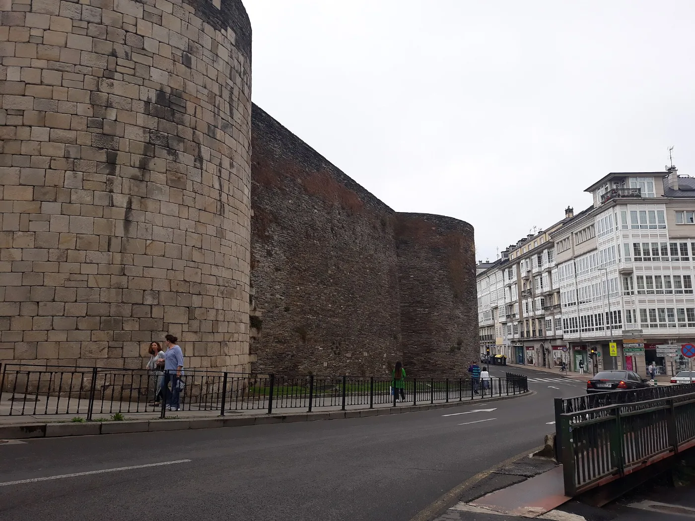
You cross the A-6 motorway and the ring road, go down to the River da Chanca and enter through the Puerta de San Pedro in the Roman wall.
What to see
The church of Santa María de Vilabade, the castle and Fonte dos Nenos of Castroverde and the Roman wall of Lugo, a World Heritage Site, with its cathedral.
Food and drink
In the area you eat pulpo á feira, empanada, broth, stew and Arzúa-Ulloa cheese; in Lugo, traditional Galician cooking.
San Froilán festivities
From 4 to 12 October, Lugo celebrates its patron saint festivities, recognised as a Festival of National Tourist Interest. If you arrive then, the city has a festive atmosphere and pulpo á feira is one of the star dishes.

Practical tips
- Keep a steady pace: it is a long stage.
- Stock up before Castroverde.
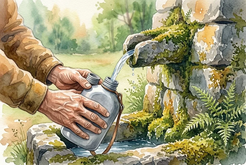
- Carry enough water: there are few reliable fountains.
- The last kilometres into Lugo feel long.
- The church at Soutomerille is an optional detour of about 900 m.
Frequently asked questions
How many km is the stage?
About 30.8 km, with small differences between sources.
Where are the highest and lowest points?
Some guides place the highest at Pradeda (733 m) and the lowest in Lugo (460 m).
What is there to see in Vilabade and Castroverde?
The church of Santa María de Vilabade, the castle keep, the Fonte dos Nenos and the church of Santiago.
Are there services along the way?
Few; Castroverde is the only place with clear services.
How do you enter Lugo?
After crossing the A-6 and the ring road, you go down to the River da Chanca and enter through the Puerta de San Pedro in the Roman wall.
After the stage: rest in Arzúa
When you reach Arzúa, we would love to welcome you at Casa Buen Camino: an entire house for up to 8 people, 400 m from the centre. You get in with a code, we confirm your booking within 60 minutes and, if you book directly with us, it is 10 % cheaper.