
Stage Lugo – Ferreira: Camino Primitivo guide
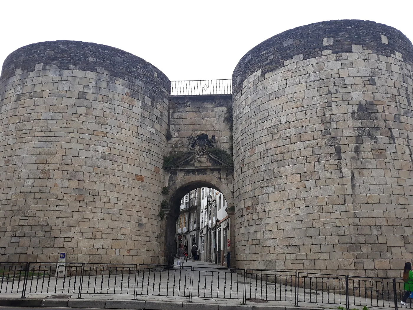
You leave Lugo through its Roman wall, a World Heritage Site, and head into inland Galicia along hamlets, tracks and country roads to Ferreira, with its single-arch bridge.
Distance
About 26.5 km
Difficulty
Medium
Estimated time
About 7 – 9 h
Altitude
Between about 370 and 616 m altitude
Interactive map, elevation and weather for this stage
The stage on the map, its elevation profile and useful tools for the day. The track is approximate: always follow the yellow arrows.
Elevation profile
Swipe to see the full profile →
Tools for the day
- Weather in Palas de Rei
- Estimate your arrival time
- Sunrise and sunset today
Emergencies: 112 (SOS Galicia). Save the number before you set off.
Track based on open data from OpenStreetMap (© contributors, ODbL) and elevations from an open digital terrain model; values may differ by a few metres. Weather and warnings: MeteoGalicia (Xunta de Galicia). Always follow the yellow arrows and check the official forecast before setting off.
Services on this stage
Shops, pharmacies, ATMs and health centres along the route, listed by kilometre. They also appear as coloured dots on the interactive map above. Slide your finger along the elevation profile to see that point on the map.
The stage section by section
Lugo: cathedral, wall and Ponte Vella
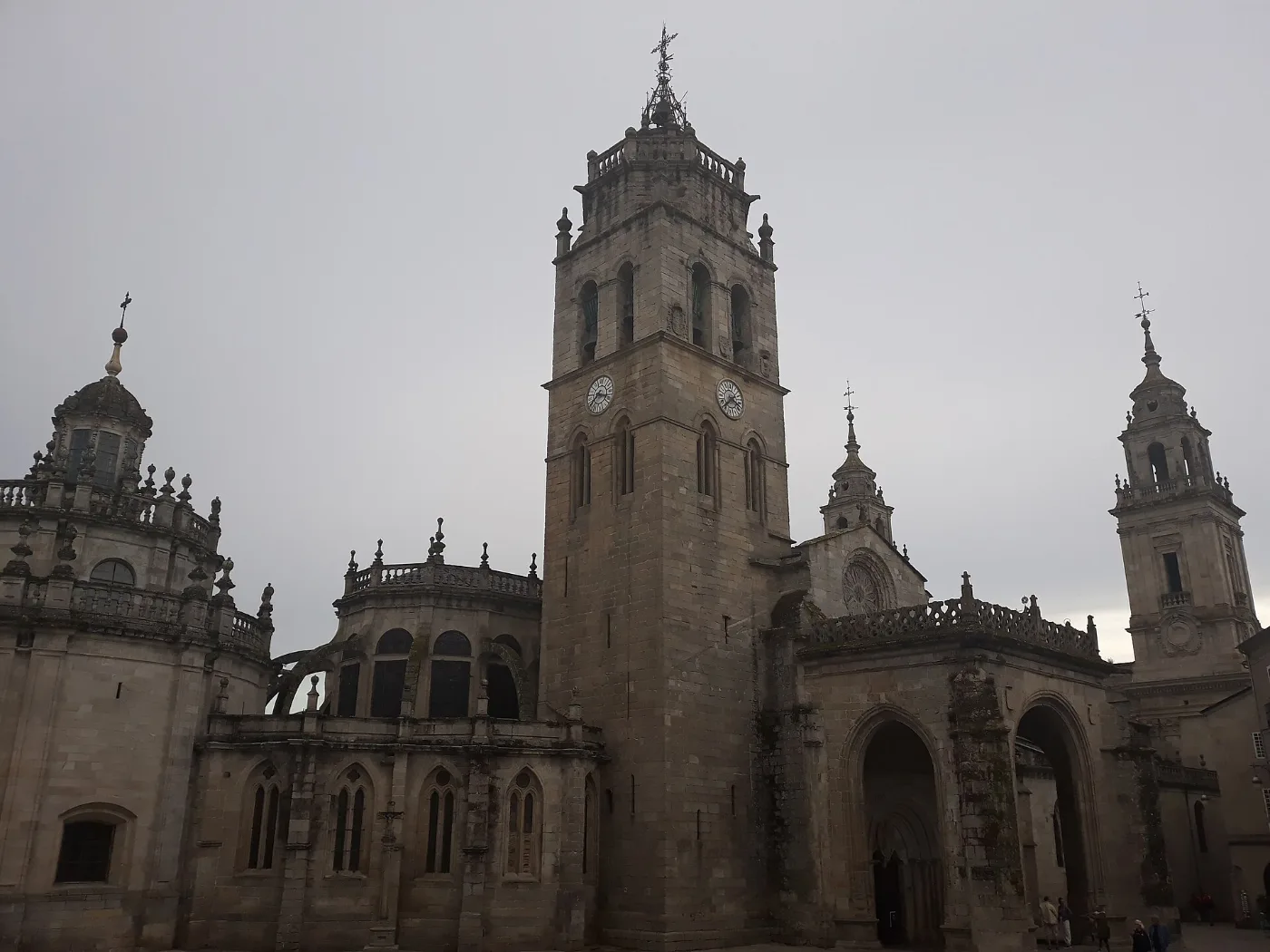
You set off from the cathedral, pass through the Roman wall at the Porta de Santiago and go down to the Miño over the Roman bridge to the San Lázaro district.
San Lázaro – Seoane
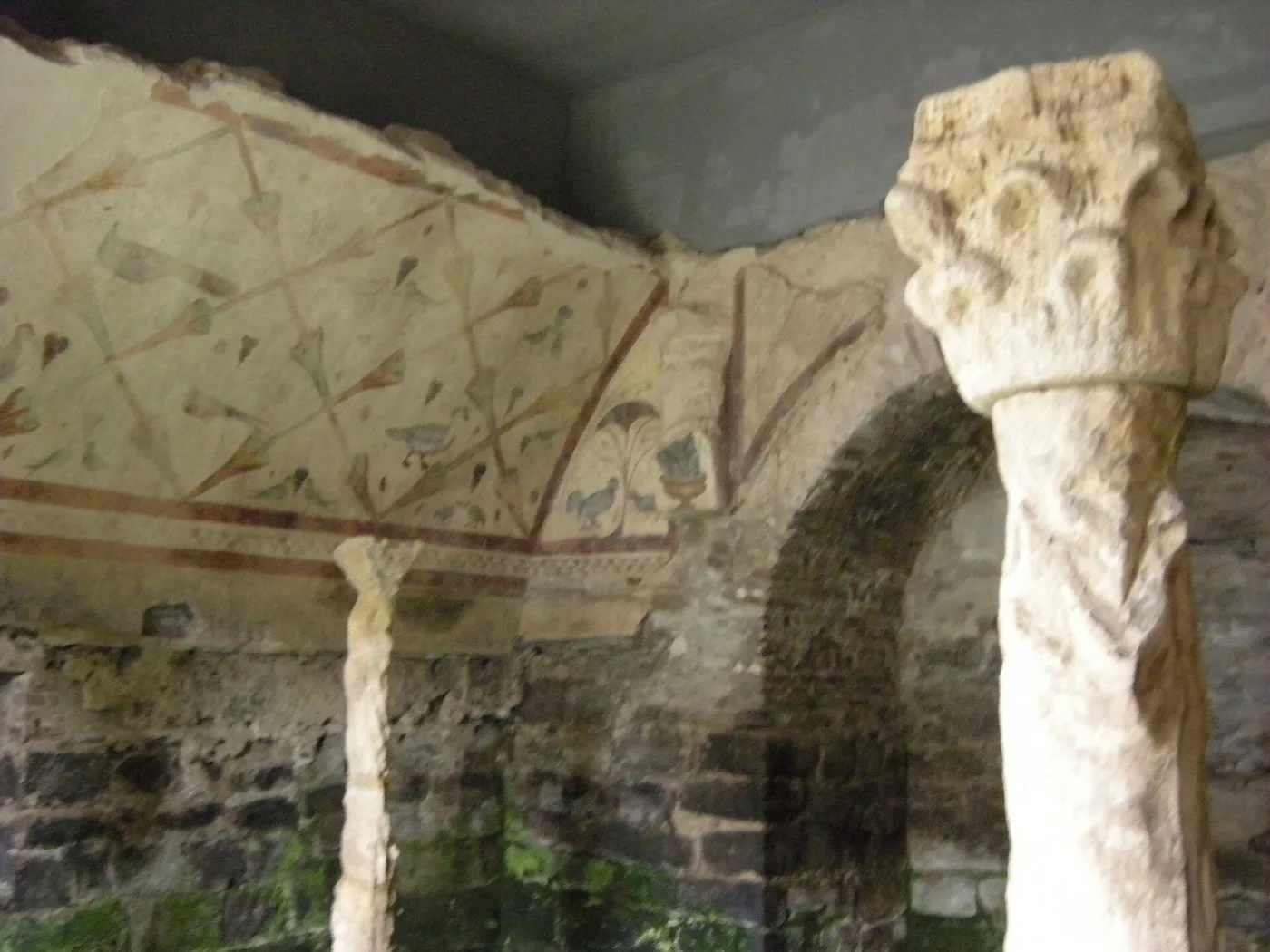
You leave among housing estates with a short climb, then tracks and local roads. From Seoane there is a detour to Santa Eulalia de Bóveda.
Carrigueiros, O Burgo and Bacurín
A rural stretch through hamlets, with the 13th-century church of San Miguel de Bacurín.
O Hospital – San Romao da Retorta
You pass San Pedro de Abaixo, the high point of the stretch, and reach San Romao da Retorta, with a hostel and the Romanesque chapel of Santa Cruz.
Castrelo, Pacio and Ferreira
You continue through hamlets to Ferreira, with its single-arch Romanesque bridge.
What to see
Lugo’s Roman wall and, with a short detour, the sanctuary of Santa Eulalia de Bóveda, from late Roman times.
Food and drink
In Lugo and the area you eat pulpo á feira, Arzúa-Ulloa PDO cheese and traditional Galician cooking.
Practical tips
- There is a lot of country road: watch out for traffic.
- Leave Lugo with water and food.
- Book meals and accommodation in advance.
- You can split the stage at San Romao da Retorta.
Frequently asked questions
How many km is Lugo – Ferreira?
Between 26 and 26.5 km.
Is it a difficult stage?
Medium difficulty: more because of the distance and asphalt than the climbing.
Can you visit Santa Eulalia de Bóveda?
Yes, there is a detour from the Camino; it is best to check the opening hours first.
Where do you sleep?
There are hostels in Lugo, San Romao da Retorta and other points on the route.
What do you see on the route?
The wall of Lugo, the Ponte Vella, the church of Bacurín and the bridge at Ferreira.
After the stage: rest in Arzúa
When you reach Arzúa, we would love to welcome you at Casa Buen Camino: an entire house for up to 8 people, 400 m from the centre. You get in with a code, we confirm your booking within 60 minutes and, if you book directly with us, it is 10 % cheaper.