
Stage Grandas de Salime – A Fonsagrada: Camino Primitivo guide and entry into Galicia
This is the stage where the Camino Primitivo enters Galicia: you leave Grandas de Salime, climb to the Alto del Acebo, cross the Asturias–Galicia border among wind turbines and descend to A Fonsagrada, already in the province of Lugo.
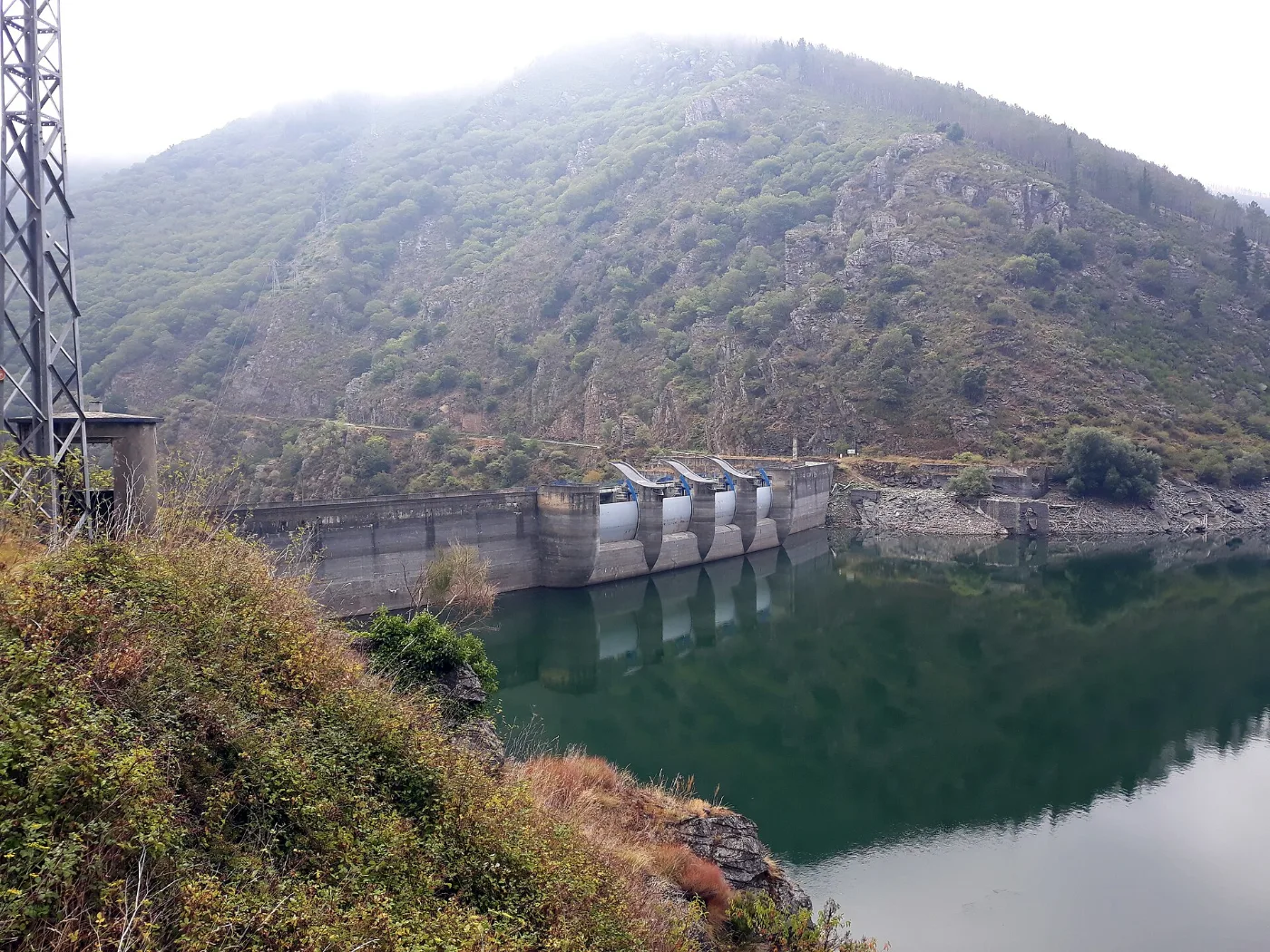
Distance
About 25.8 km
Difficulty
Medium-high
Estimated time
About 7 h (more in bad weather)
Altitude
Alto del Acebo: about 1,100 m
Interactive map, elevation and weather for this stage
The stage on the map, its elevation profile and useful tools for the day. The track is approximate: always follow the yellow arrows.
Elevation profile
Swipe to see the full profile →
Tools for the day
- Weather in A Fonsagrada
- Estimate your arrival time
- Sunrise and sunset today
Emergencies: 112 (SOS Galicia). Save the number before you set off.
Track based on open data from OpenStreetMap (© contributors, ODbL) and elevations from an open digital terrain model; values may differ by a few metres. Weather and warnings: MeteoGalicia (Xunta de Galicia). Always follow the yellow arrows and check the official forecast before setting off.
Services on this stage
Shops, pharmacies, ATMs and health centres along the route, listed by kilometre. They also appear as coloured dots on the interactive map above. Slide your finger along the elevation profile to see that point on the map.
The stage section by section
Grandas de Salime – Castro
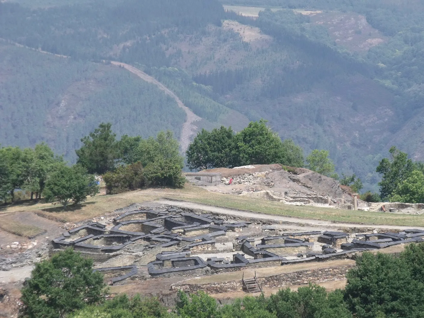
You leave Grandas past the chapel of the Carmen and climb steadily. Near Castro is the hillfort of Chao Samartín, a Bronze Age fortified settlement with a museum.
Castro – Peñafuente
Muddy woodland stretches. In Peñafuente you will find the church of Santa María Magdalena and a fountain-washhouse; nearby is the chapel of San Lázaro de Padraira.
Climbing the Alto del Acebo and entering Galicia
This is the final climb to the pass, among wind turbines. In O Acevo, the first Galician village, a small plaque marks the border.
O Acevo – Cabreira – Fonfría
A gentle descent on a well-kept track. Fonfría once had an old pilgrim hospital.
Barbeitos, Silvela and Paradanova
Hamlets with the chapel of Santa Bárbara del Camino and that of Santa Cruz in Paradanova. Take care on the stretches alongside the road with no verge.
Paradanova – A Fonsagrada
The last steep slope up to A Fonsagrada, whose name comes from “fontem sacratam” (sacred spring).
What to see
Chao Samartín (Bronze Age hillfort), the chapel of San Lázaro de Padraira, the old pilgrim hospital at Fonfría and the church of Santa María in A Fonsagrada.
Food and drink
Typical in the area are meats, trout, octopus, Oscos cheese and bean stews. There is no specific food information for this stage.
Practical tips
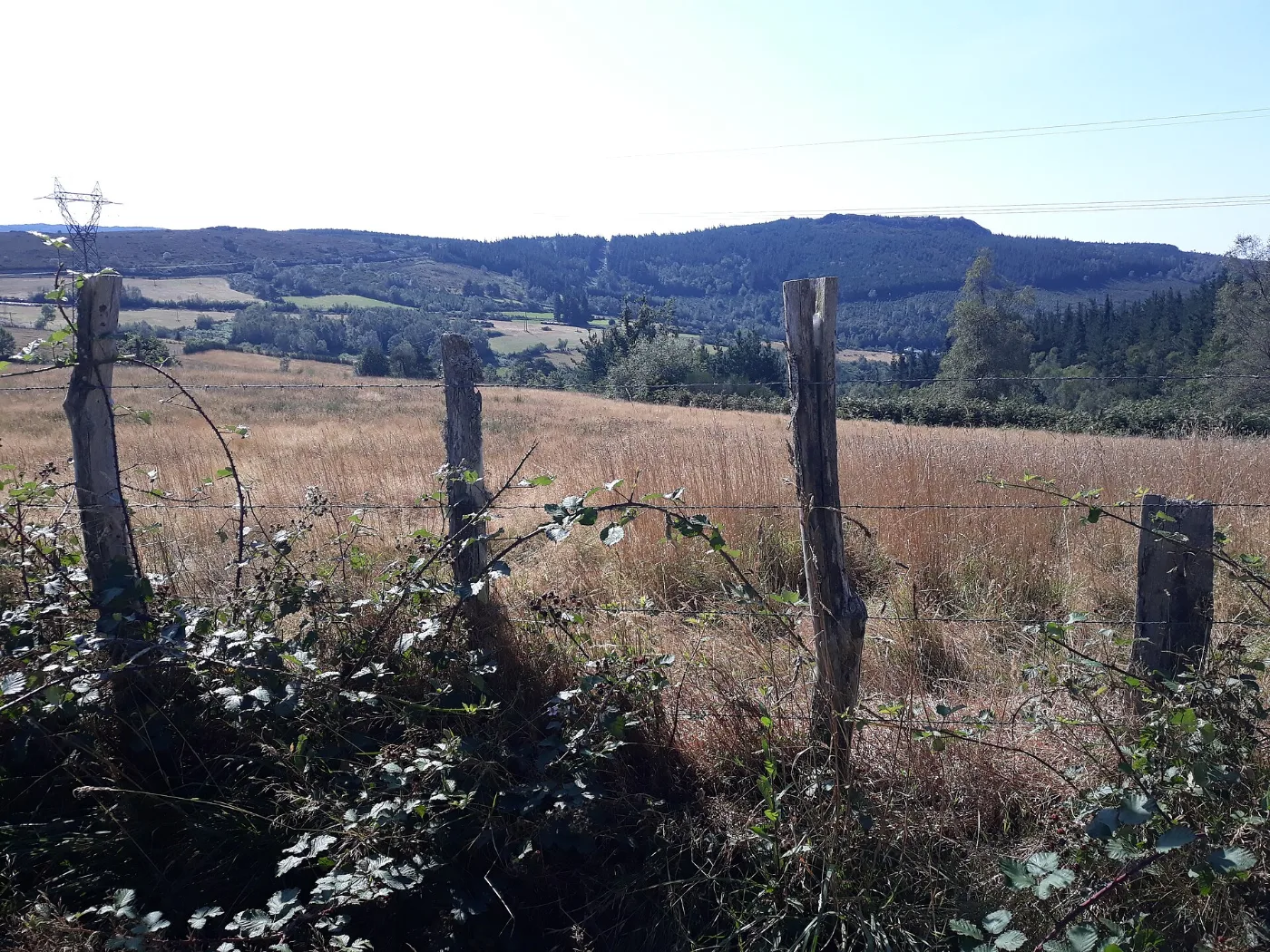
- Carry plenty of water and food: there are few services along the way.
- Always follow the yellow arrows.
- Take extra care at road crossings and on stretches with no verge.
- Wear waterproof boots: there is mud on the forest stretches.
- In fog or bad weather on the pass, carry a torch in case you arrive at dusk.
Frequently asked questions
Where do you enter Galicia on this stage?
At the Alto del Acebo, in the wind-turbine area. O Acevo is the first Galician village.
What altitude do you reach?
About 1,100 m.
How many km is it and how long does it take?
About 25.8 km and around 7 hours, which can be quite a bit more with mud, rain or snow.
How do the waymarks change when you enter Galicia?
Always follow the yellow arrows.
Are there services and water?
Few: full services are in Grandas de Salime and A Fonsagrada.
After the stage: rest in Arzúa
When you reach Arzúa, we would love to welcome you at Casa Buen Camino: an entire house for up to 8 people, 400 m from the centre. You get in with a code, we confirm your booking within 60 minutes and, if you book directly with us, it is 10 % cheaper.