
Stage Lourenzá – Abadín: Camino del Norte guide via Mondoñedo
This stage goes through Mondoñedo, one of the seven capitals of the old Kingdom of Galicia, and offers a choice: the main route via Cesuras or the longer, mountainous variant via Gontán. Both end in Abadín, already in the A Terra Chá region.
Distance
About 21 km via Cesuras · 25.2 km via Gontán (+0.6 km to Abadín)
Difficulty
Medium
Estimated time
5 – 6.5 h
Altitude
Highest point at the A Xesta pass (variant)
Interactive map, elevation and weather for this stage
The stage on the map, its elevation profile and useful tools for the day. The track is approximate: always follow the yellow arrows.
Elevation profile
Swipe to see the full profile →
Tools for the day
- Weather in Abadín
- Estimate your arrival time
- Sunrise and sunset today
Emergencies: 112 (SOS Galicia). Save the number before you set off.
Track based on open data from OpenStreetMap (© contributors, ODbL) and elevations from an open digital terrain model; values may differ by a few metres. Weather and warnings: MeteoGalicia (Xunta de Galicia). Always follow the yellow arrows and check the official forecast before setting off.
Services on this stage
Shops, pharmacies, ATMs and health centres along the route, listed by kilometre. They also appear as coloured dots on the interactive map above. Slide your finger along the elevation profile to see that point on the map.
The stage section by section
Lourenzá – Mondoñedo
Tracks and paths among meadows and eucalyptus, through small hamlets up to Mondoñedo. Some guides place Mondoñedo between km 8 and 9.
Mondoñedo
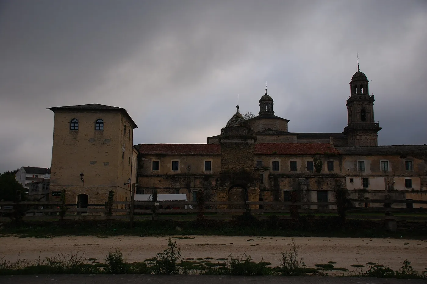
Visit its 13th-century cathedral, Plaza de España and the shrine of Nosa Señora dos Remedios. It is a good place to eat and fill up on water: there are few services afterwards.
Main route via Cesuras
About 12.9 km via Cesuras, Monte do Pico and Monte de Santa Cruz to Abadín. It is the shortest option.
Variant via Moariz and Lousada
It passes Fonte Vella, Barbeitas, Couzado and Moariz to Lousada, a hillside village where the climb through woodland begins.
A Xesta, Gontán and Abadín
A long climb to the A Xesta pass, then a descent through As Corgas, Titos and Regueira to Gontán, and 600 m more to Abadín. Take care on the stretches beside the N-634.
What to see
Mondoñedo keeps its historic centre and its Gothic-Baroque cathedral; on the variant, the surroundings of San Martiño de Galgao are worth the detour.
Food and drink
In Mondoñedo try the Mondoñedo tart and the local bread; typical in the area are pulpo á feira, Galician stew, Galician beef and tetilla and San Simón cheeses.

Practical tips
- Decide in Mondoñedo which route to take: that is where the two waymarked options split.
- Leave Mondoñedo with water and food: there are few places until Abadín.
- On the variant, pace yourself: almost all the climbing is in the second half.
- In fog or rain the climb to A Xesta gets worse.
- Mondoñedo deserves a long stop; it can also work as the end of a short stage.
Frequently asked questions
Which route is the main one and which the variant?
The main one goes via Cesuras, Monte do Pico and Monte de Santa Cruz to Abadín. The variant, or complementary route, goes via Lousada, A Xesta and Gontán.
How many km is the stage?
Via Cesuras it is about 21 km (8.2 to Mondoñedo plus 12.9). Via Gontán, 25.2 km to Gontán and 0.6 more to Abadín.
Are there services after Mondoñedo?
Very few: it is best to set off with water and food.
Where can I sleep?
There are hostels in Lourenzá, Mondoñedo and Gontán, and private accommodation in Abadín.
What is there to see in Mondoñedo?
The cathedral, Plaza de España and the shrine of Nosa Señora dos Remedios.
After the stage: rest in Arzúa
When you reach Arzúa, we would love to welcome you at Casa Buen Camino: an entire house for up to 8 people, 400 m from the centre. You get in with a code, we confirm your booking within 60 minutes and, if you book directly with us, it is 10 % cheaper.