
Stage A Fonsagrada – O Cádavo: Camino Primitivo guide
A mountain stage with constant ups and downs, passing the ruins of the Hospital de Montouto and the dreaded Cuesta del Sapo before dropping to O Cádavo, in the municipality of Baleira.
Distance
About 24.4 km
Difficulty
Medium-high (“leg-breaker”)
Estimated time
6 – 9 h depending on pace
Altitude
Between about 668 and 1,027 m
Interactive map, elevation and weather for this stage
The stage on the map, its elevation profile and useful tools for the day. The track is approximate: always follow the yellow arrows.
Elevation profile
Swipe to see the full profile →
Tools for the day
- Weather in Baleira
- Estimate your arrival time
- Sunrise and sunset today
Emergencies: 112 (SOS Galicia). Save the number before you set off.
Track based on open data from OpenStreetMap (© contributors, ODbL) and elevations from an open digital terrain model; values may differ by a few metres. Weather and warnings: MeteoGalicia (Xunta de Galicia). Always follow the yellow arrows and check the official forecast before setting off.
Services on this stage
Shops, pharmacies, ATMs and health centres along the route, listed by kilometre. They also appear as coloured dots on the interactive map above. Slide your finger along the elevation profile to see that point on the map.
The stage section by section
A Fonsagrada – O Padrón
You leave from Plaza de España beside the church. O Padrón has the church of San Xoán. There are frequent road crossings.
O Padrón – Hospital de Montouto
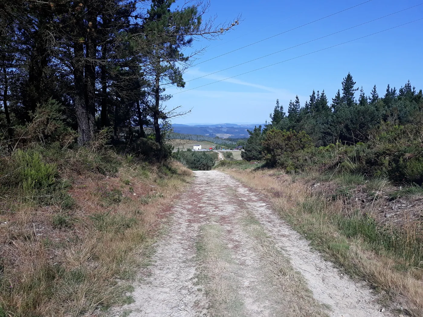
Pastures and a pine wood, with mud and constant ups and downs to Montouto.
Montouto – Paradavella
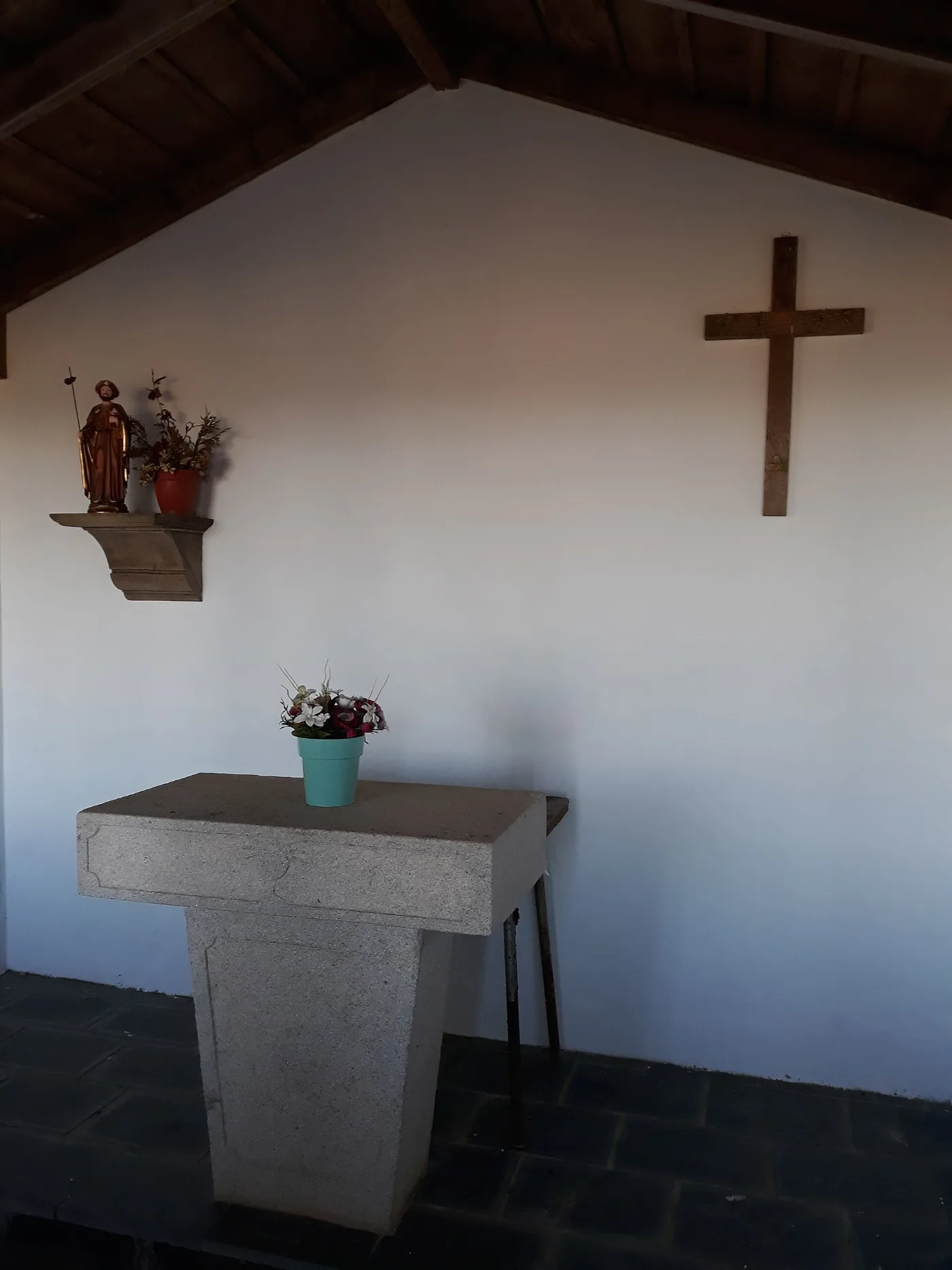
A saddle with the ruins of the Hospital de Montouto and a descent through woodland to Paradavella.
Paradavella – A Lastra
A very demanding climb known as the Cuesta del Sapo. In A Lastra there is a church and a bar.
A Lastra – A Fontaneira
A paved track with a climb and then a dirt path to A Fontaneira, with a cemetery and a granary.
A Fontaneira – O Cádavo
Road and pine wood, with a cobbled descent to O Cádavo.
What to see
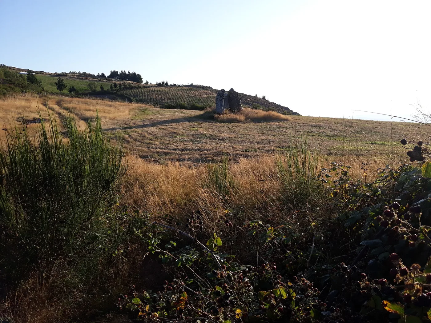
Ruins of the Hospital de Montouto (medieval in origin), the Pedras Dereitas dolmen, the churches of San Xoán and San Lourenzo and the Fuente Santa of A Fonsagrada.
Food and drink
Pork products, mountain stews, chestnuts, mushrooms, lacón con grelos and butelo.
Cebreiro cheese
This area is part of the production zone of the PDO Queixo do Cebreiro cheese. It is made from pasteurised cow’s milk, shaped like a chef’s hat, and eaten fresh, with a milky, slightly acidic flavour, or cured.
Practical tips
- Stock up on water and food in A Fonsagrada before setting off.
- Wear boots and gaiters for the mud and wet grass.
- Dense vegetation makes it harder to find your way on some stretches.
- There are road crossings and stretches with little verge: wear visible clothing if it is foggy.
- Take the climbs calmly.
Frequently asked questions
How many km is the stage?
About 24.4 km.
What is the Cuesta del Sapo?
The very demanding climb between Paradavella and A Lastra.
What can you see at the Hospital de Montouto?
The ruins of a medieval pilgrim hospital, with a chapel, next to the Pedras Dereitas dolmen.
What are the highest and lowest points?
About 1,027 m and 668 m.
Are there services on the way?
In A Fonsagrada and O Cádavo, and a bar in A Lastra; the rest are passing hamlets.
After the stage: rest in Arzúa
When you reach Arzúa, we would love to welcome you at Casa Buen Camino: an entire house for up to 8 people, 400 m from the centre. You get in with a code, we confirm your booking within 60 minutes and, if you book directly with us, it is 10 % cheaper.