
Stage Ribadeo – Lourenzá: Camino del Norte guide in Galicia
This is the first stage of the Camino del Norte in Galicia: you cross the Ribadeo estuary from Asturias and head into a landscape of meadows, eucalyptus and small hamlets. It is a long day with the first serious climb of the Galician Camino, at A Ponte de Arante, before reaching Lourenzá, the town of the Benedictine monastery and the famous fabas.

Distance
28.4 km (29.6 according to some guides)
Difficulty
Medium
Estimated time
6 – 7.5 h
Altitude
Highest point: about 370 m
Interactive map, elevation and weather for this stage
The stage on the map, its elevation profile and useful tools for the day. The track is approximate: always follow the yellow arrows.
Elevation profile
Swipe to see the full profile →
Tools for the day
- Weather in Lourenzá
- Estimate your arrival time
- Sunrise and sunset today
Emergencies: 112 (SOS Galicia). Save the number before you set off.
Track based on open data from OpenStreetMap (© contributors, ODbL) and elevations from an open digital terrain model; values may differ by a few metres. Weather and warnings: MeteoGalicia (Xunta de Galicia). Always follow the yellow arrows and check the official forecast before setting off.
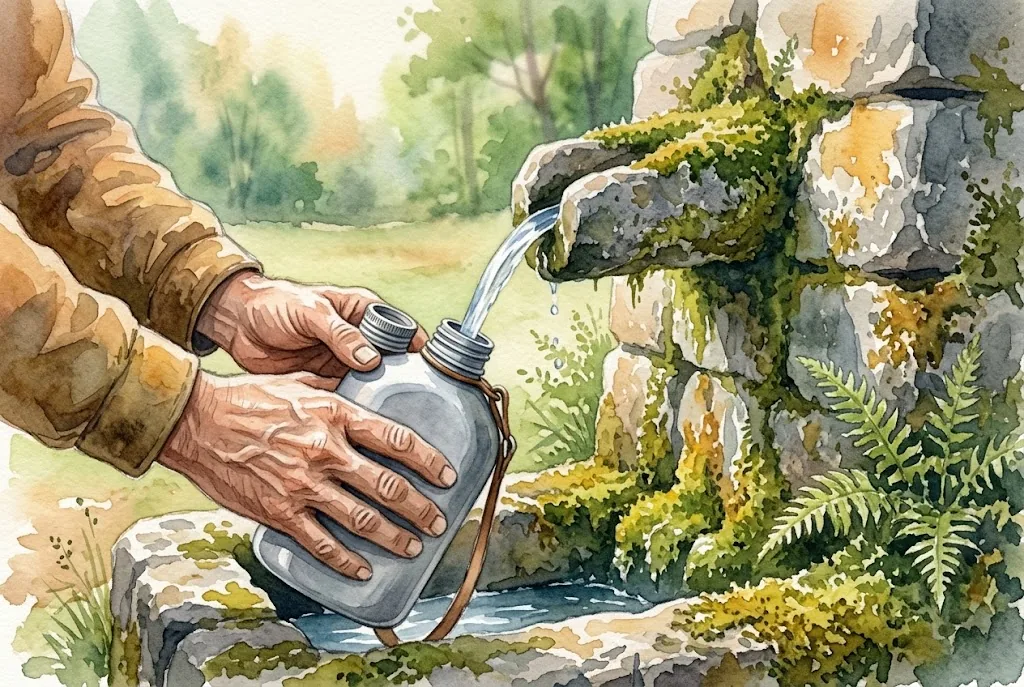
Services on this stage
Shops, pharmacies, ATMs and health centres along the route, listed by kilometre. They also appear as coloured dots on the interactive map above. Slide your finger along the elevation profile to see that point on the map.
The stage section by section
Ribadeo – Vilela
You leave from Plaza de España, cross the railway near the parish of Ove and climb gently beside Monte Santa Cruz. In Vilela there is a bar-restaurant and the chapel of the Carmen.
Vilela – A Ponte de Arante
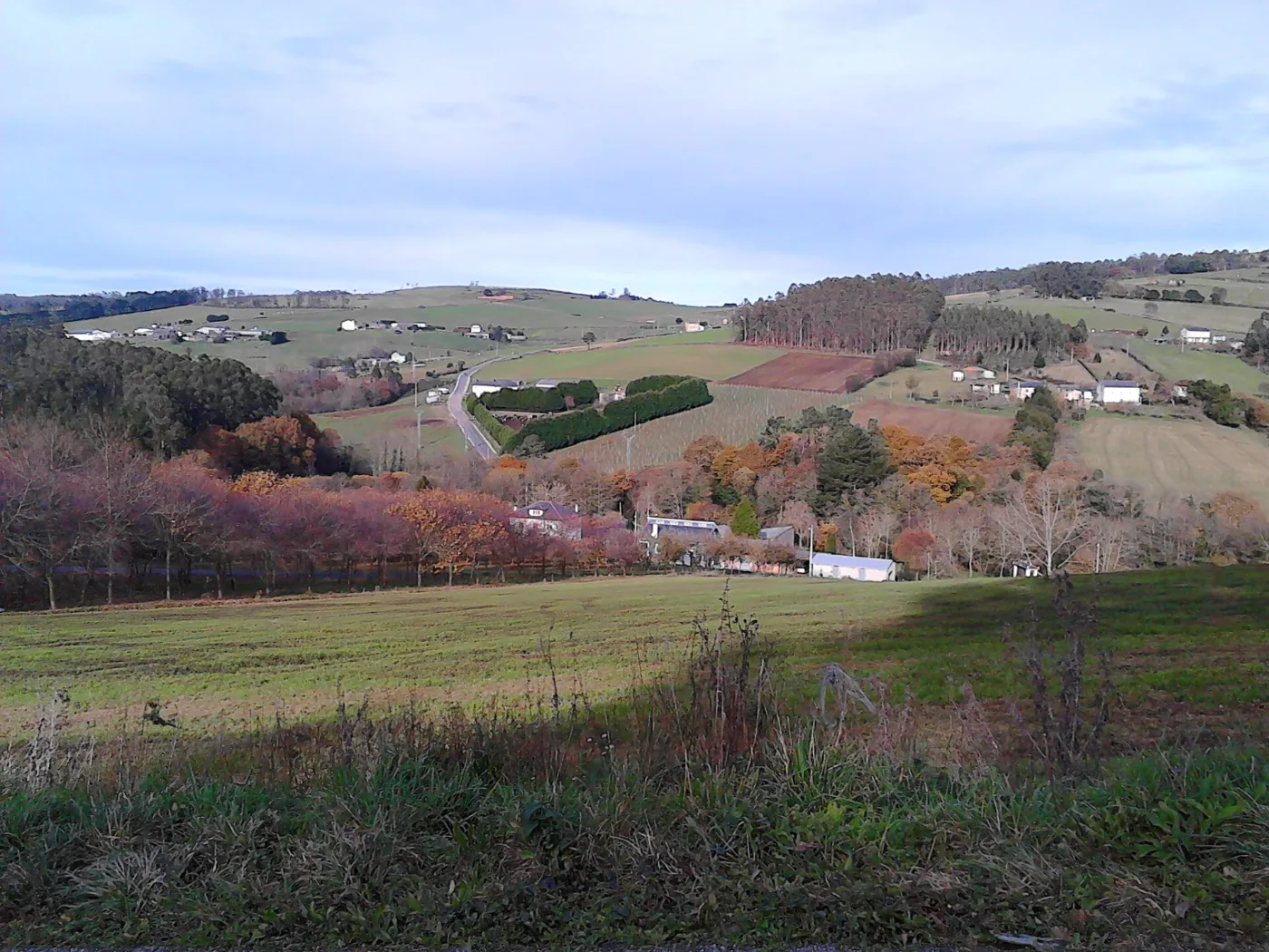
A country track through Casas da Pena, Celeirós, O Vilar and San Vicente, among meadows and eucalyptus. It ends at the chapel of Nosa Señora da Ponte, where the day’s real climb begins.
Climb to Vilamartín Pequeno
About 260 m of ascent over around 5 km up to 370 m. If it has rained a lot, some guides recommend taking the LU-133 road for this section. There is a fountain in Vilamartín Pequeno.
Vilamartín Grande and Gondán
Woodland and track to Vilamartín Grande, with services and a chapel, then a descent through the Cabarcos valley with open views down to Gondán.
San Xusto de Cabarcos and Lourenzá
You pass San Xusto de Cabarcos (church and bar), Pedrido and O Corveiro. You cross the Ponte da Pedra, a medieval single-arch bridge, and climb Monte Calvario up to Lourenzá.
What to see
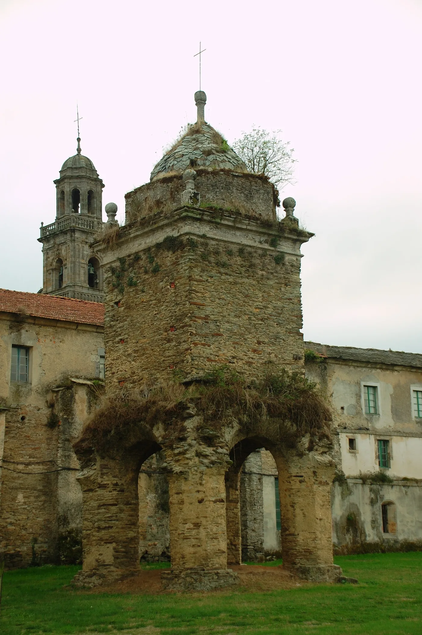
In Lourenzá the highlight is the Benedictine monastery of San Salvador, medieval in origin with a Baroque façade, along with the churches of Santa María, San Xurxo and San Tomé.
Food and drink
Lourenzá is famous for its fabas, the most typical dish of the area. You will also find lacón con grelos, Galician stew, empanada, Mondoñedo tart and marzipan.
Practical tips
- The way out of Ribadeo is confusing: follow the arrows carefully or carry a track.
- Stock up in Vilela before the long rural stretch.
- In mud or heavy rain, the climb to A Ponte de Arante can be done along the LU-133 road.
- Check before setting off whether the Gondán hostel is open, as some guides list it as closed.
Frequently asked questions
How many km is the Ribadeo – Lourenzá stage?
About 28.4 km.
Is it a hard stage?
Medium difficulty: it is long and has a strong climb at A Ponte de Arante; the rest is rolling.
Where can I eat or refill water?
In Vilela (km 6.8), Vilamartín Grande, San Xusto de Cabarcos and Lourenzá. Between Vilela and Vilamartín Grande there are about 13 km with almost no services.
Is there an alternative if it rains?
Yes, for the climb to A Ponte de Arante the LU-133 road is recommended.
Where do you sleep in Lourenzá?
There is a public hostel and private accommodation in Lourenzá and Ribadeo; it is best to confirm they are open before setting off.
After the stage: rest in Arzúa
When you reach Arzúa, we would love to welcome you at Casa Buen Camino: an entire house for up to 8 people, 400 m from the centre. You get in with a code, we confirm your booking within 60 minutes and, if you book directly with us, it is 10 % cheaper.