Camino del Norte to Santiago: stages to Arzúa and practical guide
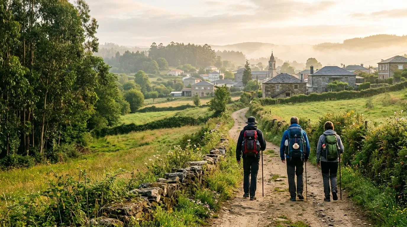
The Camino del Norte is the route along the Cantabrian coast: it starts in Irún and crosses the Basque Country, Cantabria, Asturias and Galicia in about 820 km. It is quieter than the Camino Francés and, on reaching Arzúa, joins it for the last 39 km to Santiago.
The Camino del Norte in four facts
About 820 km
From Irún to Santiago, split into 34 to 36 stages depending on the guide, averaging 23 km.
Four regions
Basque Country, Cantabria, Asturias and Galicia, with sea, cliffs, beaches and mountains.
Demanding
It has steep climbs, especially in the Basque Country and Asturias.
Compostela
To earn it you only need to walk the last 100 km; from Vilalba it is about 120 km.
In 2015 the Camino de Santiago Northern Routes were added to the UNESCO World Heritage list. Compared with the Camino Francés, it is a quieter route with fewer places to stay, especially on the long inland stages.
The full route, from Irún to Arzúa
These are the usual stages of the route by region, with distances rounded. They are approximate: they change depending on the guide and the variant you choose. Each stage is grouped under the region where it ends.
Basque Country · 8 stages · ≈ 169 km
| Stage | Approx. km | |
|---|---|---|
| Irún – San Sebastián | 25 | Among the toughest |
| San Sebastián – Zarautz | 22 | |
| Zarautz – Deba | 22 | |
| Deba – Markina | 24 | Among the toughest |
| Markina – Gernika-Lumo | 25 | |
| Gernika-Lumo – Lezama | 21 | Among the toughest |
| Lezama – Bilbao | 11 | |
| Bilbao – Portugalete | 19 |
Cantabria · 6 stages · ≈ 163 km
| Stage | Approx. km | |
|---|---|---|
| Portugalete – Castro Urdiales | 28 | |
| Castro Urdiales – Laredo | 27 | |
| Laredo – Noja | 23 | |
| Noja – Santander | 26 | |
| Santander – Santillana del Mar | 37 | |
| Santillana del Mar – Comillas | 22 |
Asturias · 13 stages · ≈ 308 km
| Stage | Approx. km | |
|---|---|---|
| Comillas – Colombres | 29 | |
| Colombres – Llanes | 23 | |
| Llanes – Ribadesella | 31 | Among the toughest |
| Ribadesella – Colunga | 20 | |
| Colunga – Villaviciosa | 17 | |
| Villaviciosa – Gijón | 30 | Among the toughest |
| Gijón – Avilés | 25 | |
| Avilés – Muros de Nalón | 23 | |
| Muros de Nalón – Soto de Luiña | 15 | |
| Soto de Luiña – Cadavedo | 19 | |
| Cadavedo – Luarca | 15 | |
| Luarca – La Caridad | 31 | |
| La Caridad – Ribadeo | 30 |
Galicia · 7 stages of its own up to Arzúa · ≈ 152 km
These are the seven stages we describe below, from Ribadeo to Arzúa. From Arzúa, the Camino del Norte shares the last two stages with the Camino Francés (Arzúa – O Pedrouzo and O Pedrouzo – Santiago, about 38 km).
Approximate total from Irún to Ribadeo: 640 km. Sources: stage listings from viajecaminodesantiago.com y Gronze; the Galician stages are those of our own guides.
The Galician route, to scale
The seven sections from Ribadeo to Arzúa, with widths proportional to their kilometres. Tap each section to see its guide.
The stages in pictures
 1
 2
 3
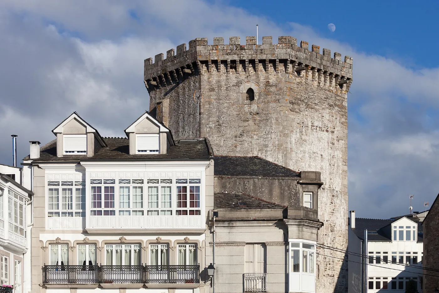 4
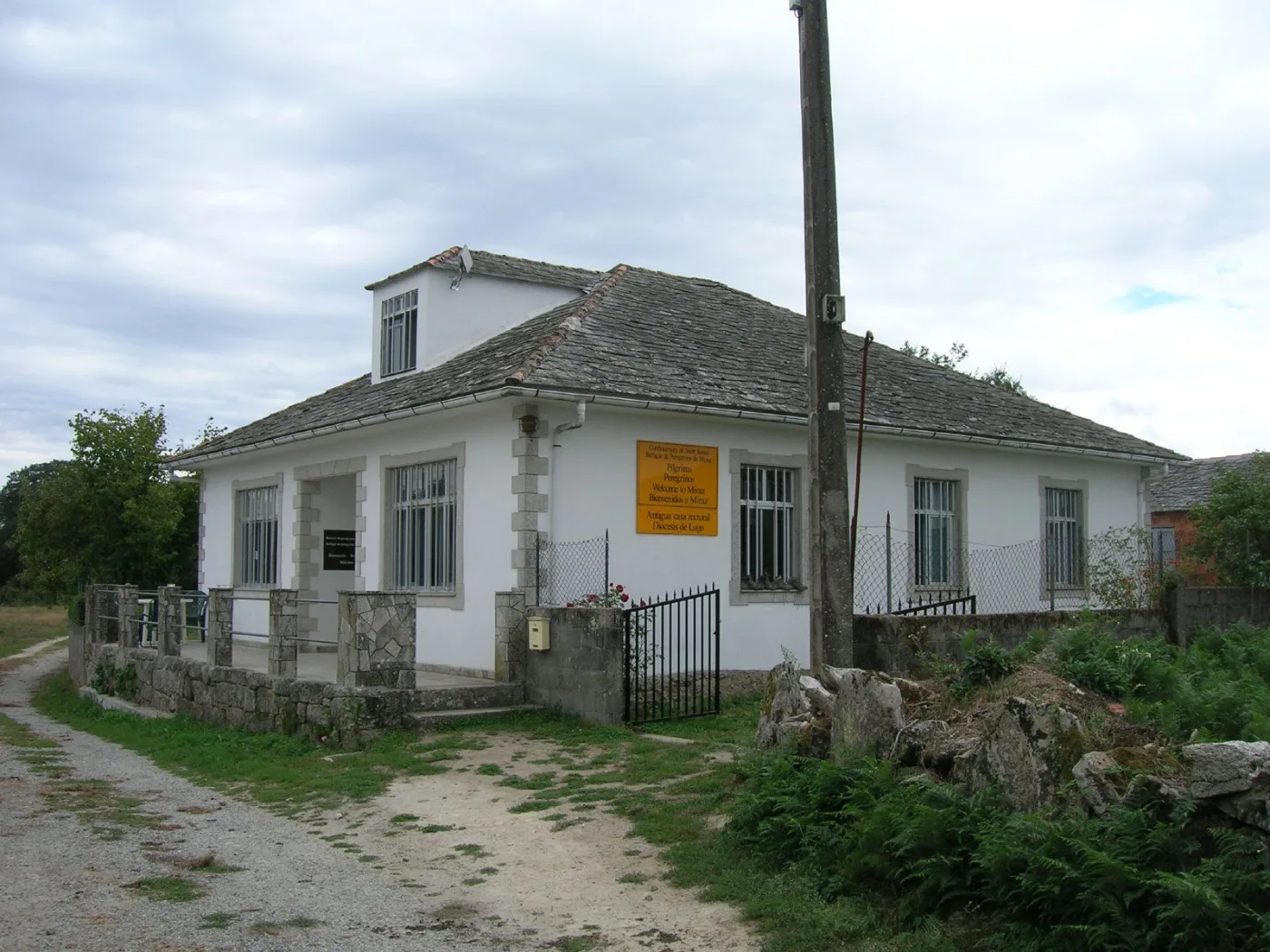 5
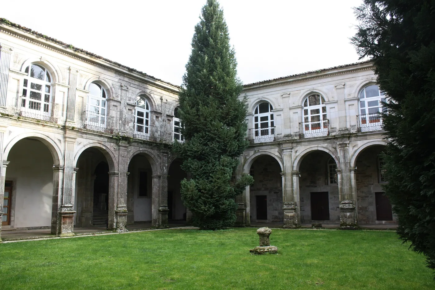 6
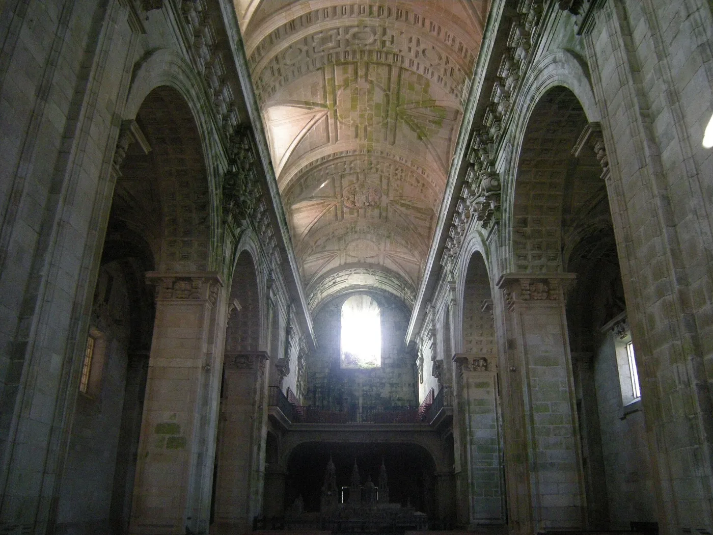 7
The seven Galician stages at a glance
| Stage | Distance | Difficulty | Time | Where to sleep |
|---|---|---|---|---|
| Ribadeo – Lourenzá | 28.4 km | Medium | 6 – 7.5 h | Public hostel and private accommodation in Lourenzá and Ribadeo |
| Lourenzá – Abadín | 21 km via Cesuras · 25.2 km via Gontán | Medium | 5 – 6.5 h | Hostels in Lourenzá, Mondoñedo and Gontán, and private accommodation in Abadín |
| Abadín – Vilalba | About 21 km | Medium-low | 5 – 6 h | Private hostel in Castromaior and all services in Vilalba |
| Vilalba – Baamonde | 18.5 km | Low (easy) | About 4.5 h | Public hostel, private accommodation and guesthouses in Baamonde |
| Baamonde – Miraz | About 15 km | Low (short and green) | About 4 h | Pilgrim hostels in Miraz and A Lagoa, open in season: check before setting out |
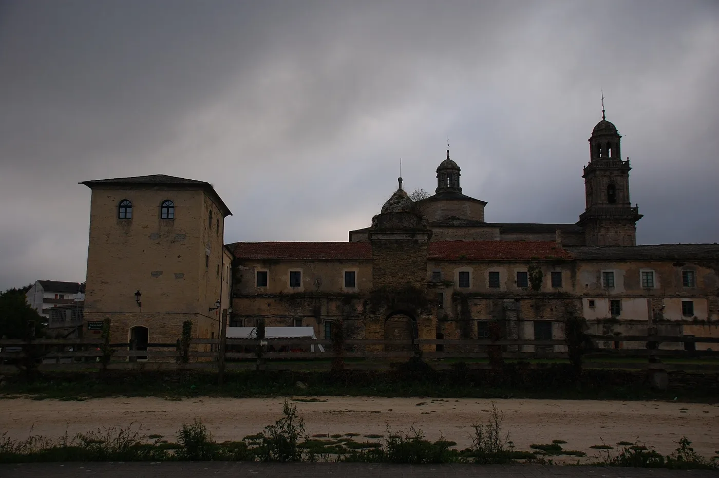
| Miraz – Sobrado dos Monxes | About 25 km | Medium-high | 6.5 – 7 h | Private hostel in A Roxica, public hostel in A Cabana and, in Sobrado, the monastery hostel, another private one, guesthouses and apartments |
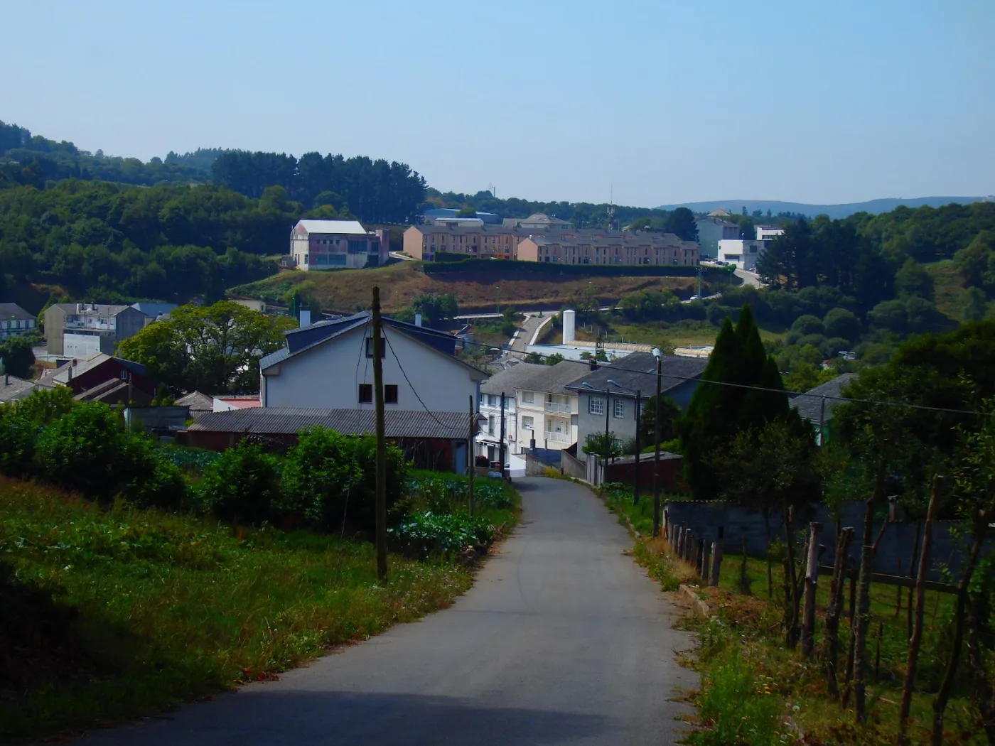
| Sobrado dos Monxes – Arzúa | About 22 km | Low-medium | 4.5 – 5.5 h | Pilgrim hostel in Boimorto |
Map and elevation profile of the Camino del Norte
The whole route with the stages in colour. Tap a stage on the map to open its guide.
Elevation profile
Swipe to see the full profile →
Stages
- 1Ribadeo – Lourenzá29.1 km · 5–363 m
- 2Lourenzá – Abadín25.2 km · 73–556 m
- 3Abadín – Vilalba21.1 km · 431–539 m
- 4Vilalba – Baamonde18.4 km · 408–516 m
- 5Baamonde – Miraz15.5 km · 404–488 m
- 6Miraz – Sobrado dos Monxes24.4 km · 475–707 m
- 7Sobrado dos Monxes – Arzúa22 km · 327–555 m
Tools for the day
- Camino de Santiago forecast (MeteoGalicia)
- Weather warnings (MeteoGalicia)
- Emergencies: 112 (SOS Galicia). Save the number before you set off.
Live weather map
Always check the official MeteoGalicia forecast before you set off.
Track based on open data from OpenStreetMap (© contributors, ODbL) and elevations from an open digital terrain model; values may differ by a few metres. Weather and warnings: MeteoGalicia (Xunta de Galicia). Always follow the yellow arrows and check the official forecast before setting off.
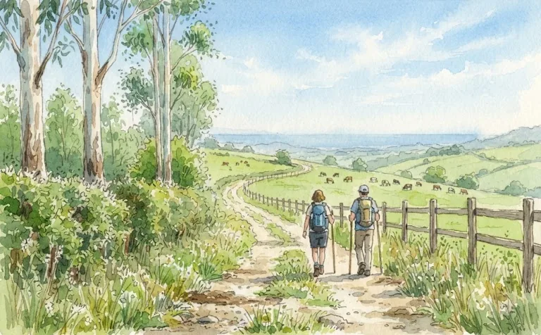
Your stretch, with services
Choose where you start and where you finish: we add up the kilometres, time and services along the way.
The Galician stages up to Arzúa
These are the Galician sections that cross the interior up to Arzúa.
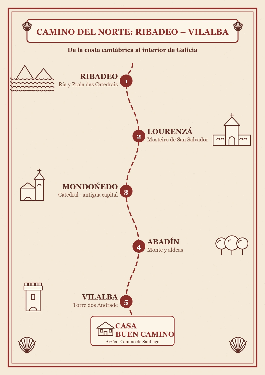
Ribadeo – Vilalba
Stage Ribadeo – Lourenzá
- Key tip
- The exit from Ribadeo is poorly signposted and the climb to A Ponte de Arante (about 260 m of ascent over roughly 5 km) is the effort of the day. Between Vilela and Vilamartín Grande there are about 13 km with almost no services. In mud or heavy rain, the climb can be done along the LU-133 road.
- Water and services
- Bar in Vilela (km 6.8), fountain in Vilamartín Pequeno and services in Vilamartín Grande, San Xusto de Cabarcos and Lourenzá.
- Where to sleep
- Public hostel and private accommodation in Lourenzá and Ribadeo. Confirm it is open before you set out: the Gondán hostel is listed as closed in some guides.
- What to see
- The Benedictine monastery of San Salvador in Lourenzá (medieval origins, Baroque façade), the churches of Santa María, San Xurxo and San Tomé, and the Ponte da Pedra, a medieval single-arch bridge.
- Food
- Fabas de Lourenzá (white beans), lacón con grelos, Galician stew, empanada, Mondoñedo tart and marzipans.
Stage by stage
- 0 – 6.8 km · Ribadeo – Vilela. You leave Plaza de España, cross the railway line near Ove and climb beside Monte Santa Cruz. Bar-restaurant and the Carmen chapel.
- 6.8 – 11.6 km · Vilela – A Ponte de Arante. Country lanes through Casas da Pena, Celeirós, O Vilar and San Vicente. It ends at the chapel of Nosa Señora da Ponte, where the climb begins.
- 11.6 – 17.2 km · Climb to Vilamartín Pequeno. About 260 m of ascent over roughly 5 km up to 370 m. Fountain in Vilamartín Pequeno.
- 17.2 – 21.4 km · Vilamartín Grande and Gondán. Woodland and track to Vilamartín Grande (services and chapel) and descent through the Cabarcos valley.
- 21.4 – 28.4 km · San Xusto de Cabarcos and Lourenzá. Church and bar in San Xusto, Pedrido and O Corveiro. Ponte da Pedra and climb up Monte Calvario to Lourenzá.
Stage Lourenzá – Abadín
- Key tip
- At Mondoñedo the path forks. The main route via Cesuras (12.9 km from Mondoñedo) is shorter; the variant via Lousada, the A Xesta pass and Gontán (about 17 km) holds almost all the climbing. Decide in Mondoñedo which one you take.
- Water and services
- Lourenzá and Mondoñedo have all services. After that there are very few until Abadín or Gontán: set out with water and food.
- Where to sleep
- Hostels in Lourenzá, Mondoñedo and Gontán, and private accommodation in Abadín.
- What to see
- Mondoñedo, one of the seven capitals of the old Kingdom of Galicia: 13th-century cathedral, Plaza de España and the sanctuary of Nosa Señora dos Remedios. On the variant, the surroundings of San Martiño de Galgao.
- Food
- Mondoñedo tart, local bread, pulpo á feira, Galician stew, Galician beef and tetilla and San Simón cheeses.
Stage by stage
- 0 – 8.2 km · Lourenzá – Mondoñedo. Tracks and paths between meadows and eucalyptus to Mondoñedo.
- Stop · Mondoñedo. Cathedral, Plaza de España and the sanctuary of Nosa Señora dos Remedios. A good place to eat and fill up on water.
- 8.2 – 21 km · Main route via Cesuras. About 12.9 km via Cesuras, Monte do Pico and Monte de Santa Cruz to Abadín. The shorter option.
- 8.2 – 18 km · Variant via Moariz and Lousada. Fonte Vella, Barbeitas, Couzado and Moariz to Lousada, a hillside village where the climb through forest begins.
- 18 – 25.8 km · A Xesta, Gontán and Abadín. Long climb to the A Xesta pass, descent via As Corgas, Titos and Regueira to Gontán and 600 m more to Abadín. Take care beside the N-634.
Stage Abadín – Vilalba
- Key tip
- Stock up in Abadín: there are few services between Castromaior and Martiñán. The path crosses the N-634 several times, so take extra care.
- Water and services
- Abadín at the start; then services beside the N-634 in Martiñán and O Campo do Cristo. Few options on the rural stretches.
- Where to sleep
- Private hostel in Castromaior and all services in Vilalba. Book ahead in high season.
- What to see
- In Vilalba: the Torre de los Andrade (now a parador), the church of Santa María and the Museum of Prehistory and Archaeology.
- Food
- Vilalba capon (PGI), San Simón da Costa cheese (PDO), turnip greens and Galician beef.
Stage by stage
- 0 – 6 km · Abadín – As Paredes / Castromaior. Via Fernandaño and Torre, between meadows and farms, entering A Terra Chá. Private hostel in Castromaior.
- 6 – 11 km · Castromaior – Martiñán. You approach the N-634, which you cross with care. Bar and services in Martiñán.
- 11 – 14 km · Martiñán – O Campo do Cristo. Services grouped beside the N-634, wooden walkways through forest and wayside crosses.
- 14 – 18 km · Fontao – Goiriz. Rural stretch of dirt tracks and asphalt; after rain they can be muddy.
- 18 – 22 km · Sete Pontes industrial estate – Vilalba. The approach through the industrial estate demands attention to the arrows. Vilalba has all services.
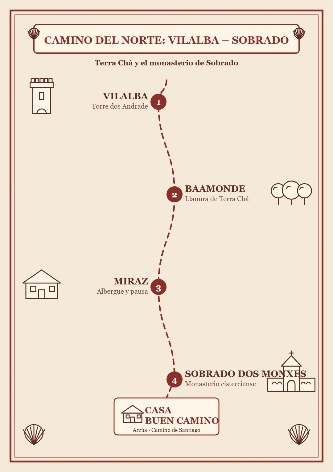
Vilalba – Sobrado dos Monxes
Stage Vilalba – Baamonde
- Key tip
- It is one of the easiest stages of the Norte, but there are several motorway and main-road crossings: follow the markers closely and carry water and some food.
- Water and services
- Bar in San Xoán de Alba, Casa Alejandro beside the N-634 and another bar near A Ponte de Saa. Few services in between.
- Where to sleep
- Public hostel, private accommodation and guesthouses in Baamonde.
- What to see
- In Baamonde: the Víctor Corral House Museum, the Camarasa Tower and a thousand-year-old chestnut tree. Along the way, the hermitage of San Adrián and the medieval bridge of A Ponte de Saa over the Labrada river.
- Food
- Chorizo, androllas, San Simón da Costa cheese (PDO), lacón con grelos, Galician broth and empanadas.
Stage by stage
- 0 – 2.3 km · Leaving Vilalba and Ponte Rodríguez. You leave Plaza de Santa María, go down through the old town and cross the Madalena river. Wayside cross and granary in Ponte Rodríguez.
- 2.3 – 5.7 km · Country lanes. Tracks and hamlets with several crossings of the A-8 and the N-634.
- 5.7 – 7.8 km · San Xoán de Alba – Pedrouzos. Bar-restaurant in San Xoán de Alba; Pedrouzos is shortly after.
- 7.8 – 13 km · Goiriz, Carballido and A Ponte de Saa. Hermitage of San Adrián and the medieval bridge of A Ponte de Saa.
- 13 – 18.5 km · Hamlets to Baamonde. Cardosa, Contariz, Fontefría, Silavosa and A Rega. The last 400 m follow the N-634 to the Baamonde roundabout.
Stage Baamonde – Miraz
- Key tip
- Near the chapel of San Alberte the path forks: the variant via Miraz lengthens the stretch to Sobrado to about 40 km but offers more accommodation; the As Cruces one saves about 8 km with fewer places to sleep. Miraz is the most practical midpoint for splitting the long stage.
- Water and services
- Bar in Seixón; bar, shop and hostel in A Lagoa; bar-restaurant in Miraz. There are lonely stretches: carry water.
- Where to sleep
- Pilgrim hostels in Miraz and A Lagoa, open in season: check before setting out.
- What to see
- Historic tower next to Miraz, medieval church of Santiago and the chapel of San Alberte (14th century, with a Renaissance fountain and wayside cross). Medieval bridge over the Parga.
- Food
- Artisan cheese from Abeleiras de Sobrado and Arzúa-Ulloa PDO cheese.
Stage by stage
- 0 – 5.1 km · Leaving Baamonde. Optional forest variant that avoids the road, crosses the Parga river and adds 1.1 km.
- 5.1 – 9.3 km · Fork and Parga river. The path splits between Miraz and As Cruces. Via Miraz you reach the medieval bridge over the Parga and Carballedo.
- 9.3 – 12.2 km · Carballedo – Seixón. Oak woodland and hamlets, with a bar at the end of the stretch in Seixón.
- 12.2 – 15 km · Seixón – A Lagoa – Miraz. A Lagoa has a bar, shop and hostel. Miraz closes the stage with a bar-restaurant and hostels.
Stage Miraz – Sobrado dos Monxes
- Key tip
- It is an isolated stretch with little commerce: leave Miraz with water and food, above all because there is no bar or shop in A Cabana. In low season less accommodation may be open.
- Water and services
- Bar in A Roxica, hostel in A Cabana (no bar or shop) and bar-restaurant in O Mesón.
- Where to sleep
- Private hostel in A Roxica, public hostel in A Cabana and, in Sobrado, the monastery hostel, another private one, guesthouses and apartments.
- What to see
- The Cistercian monastery of Santa María de Sobrado and the lake the monks built in the early 16th century.
- Food
- Arzúa-Ulloa PDO cheese, artisan cheese from Abeleiras de Sobrado, Galician beef and the monks' dulce de leche.
Stage by stage
- 0 – 9.7 km · From Miraz to A Roxica. Rural, lonely terrain on dirt and asphalt tracks, with a rolling profile. Bar and private hostel in A Roxica.
- 9.7 – 10.5 km · A Roxica – A Cabana. Short stretch. Modern public hostel, but no bar or shop.
- 10.5 – 19.6 km · Climb to the granite plateau. An almost imperceptible ascent between Celtic stone walls. Past the Corteporcos area you reach 710 m and cross from Lugo to A Coruña province.
- 19.6 – 25 km · O Mesón and descent to Sobrado. Bar-restaurant in O Mesón and descent towards Sobrado, with its lake and monastery.
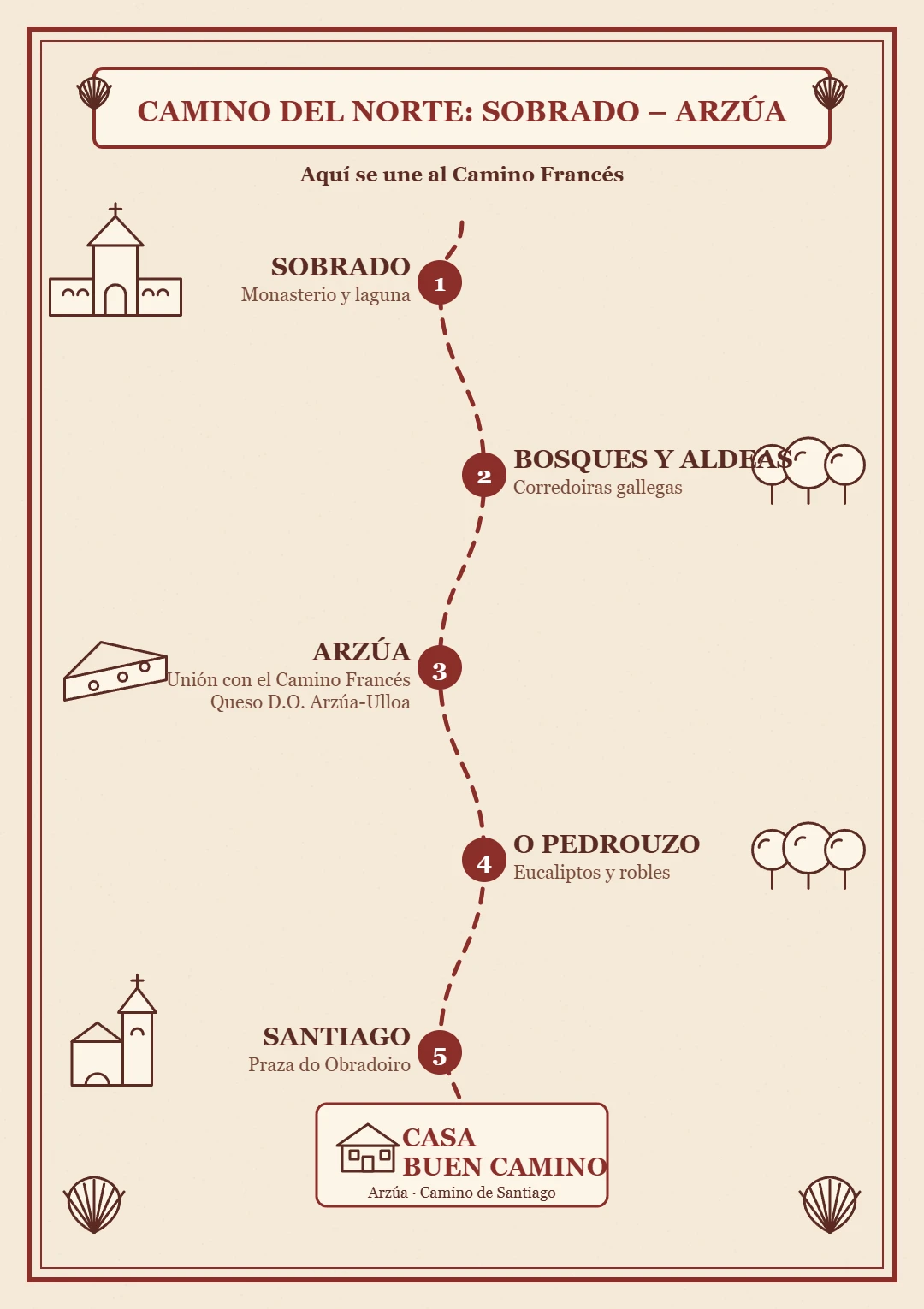
Sobrado – Arzúa and the finish
Stage Sobrado dos Monxes – Arzúa
- Key tip
- The decision point is Boimorto (about km 11.5): main route to Arzúa or variants that join the Francés earlier. The route runs largely along local roads and, from Arzúa, you will see many more pilgrims.
- Water and services
- Bars and accommodation in As Corredoiras, Boimil and A Gándara (Boimorto). Full services in Arzúa.
- Where to sleep
- Pilgrim hostel in Boimorto. In Arzúa, Casa Buen Camino: book ahead in high season.
- What to see
- Roman milestone at A Gándara, Romanesque church of Santa María de Sendelle (12th-century apse) and, in Arzúa, the chapel and convent of La Magdalena, the Pazo de Brandeso and A Fonte Santa.
- Food
- Arzúa-Ulloa cheese (PDO), pulpo á feira, Galician stew, lacón con grelos and Galician empanada.
Book at Casa Buen Camino, Arzúa
Stage by stage
- 0 – 4 km · From Sobrado to Castro. Leaving the monastery by road and country path.
- 4 – 8.5 km · Madelos and As Corredoiras. Local roads with some paths. Bar and accommodation in As Corredoiras.
- 8.5 – 11.7 km · Boimil and Boimorto. In Boimorto (A Gándara) there is a Roman milestone and a pilgrim hostel. The clearest place to stop.
- 11.7 – 14.8 km · A Gándara – Sendelle. Country path to the Romanesque church of Santa María de Sendelle.
- 14.8 – 22 km · Casaldoeiro – Ribadiso – Arzúa. You enter Arzúa, famous for its cheese, where the Camino del Norte joins the Francés.
Where am I? Work out your Camino
Pick your stage and where you are now: we tell you how far is left and when you will arrive.
Plan your dates
Approximate calculation: everyone walks at their own pace and stops add time.
Tips for the Camino del Norte
Book your accommodation in advance. There is less accommodation than on the Camino Francés, especially on the long inland stages.
Be ready for rain. The Atlantic climate is damp: a waterproof layer and footwear that can take mud.
Plan your stages with some margin. There are long days with climbing; it is better to have a spare day.
Carry your credential and stamp it every day so you can request the Compostela in Santiago. You need at least two stamps a day over the last 100 km.
Travel light. Your backpack should not weigh more than 10% of your body weight, and 30 to 40 litres with a hip belt is enough. See our Camino Francés guide for the full gear list.
Tried-and-tested footwear. Never break in new boots on the Camino: they should be worn in over at least 50–100 km beforehand. Flip-flops for the shower and to rest your feet are essential.
Carry cash. Although card payment is widespread, in small villages and in some municipal or parish hostels only cash is accepted.
Start early and carry your documents. Leaving early avoids the hottest hours and helps secure a bed in high season. Always carry your ID or passport and your health card.
The Compostela
It is granted to those who walk at least the last 100 km on foot or on horseback, or the last 200 km by bike, with at least two stamps per day in the credential. From Vilalba it is about 120 km. You request it at the Pilgrim's Office in Santiago, at Rúa Carretas 33; check the current opening hours at pilgrim.es.
Useful phone numbers
- Emergencies
- 112 / 061
- Taxi in Arzúa
- +34 981 500 000
- Taxi in O Pedrouzo
- +34 981 510 000
- Taxi in Santiago
- +34 981 569 292
Help and safety for pilgrims
Walking alone
The Camino is safe and busy, especially over the last 100 km. A few simple habits still bring peace of mind: tell someone which stage you are doing and share your phone location; start in daylight and arrive before dark; avoid isolated stretches at night or in fog; choose accommodation with good reviews and book ahead in high season. And always trust your instinct: if something feels wrong, step into the nearest café or house and ask for help.
Emergencies · 112
112 is the single emergency number: it is free and works even without coverage from your own operator. Guardia Civil: 062. Galicia medical emergencies: 061. When you call, give your name, what has happened and the last village, waymarker or junction you passed.
Look after your feet and body
Blisters: seamless socks, dry feet and a plaster at the first rub, not the third. Heat: start early, drink before you feel thirsty and protect yourself from the sun. Knees and tendons: walk downhill slowly, use poles if you carry them and stop if something really hurts. Pharmacies and health centres are in the larger towns of each stage.
Transport and backpack
If one day you cannot continue, local taxis and buses link the towns along the Camino. Many pilgrims also send their backpack to the next lodging with a luggage transport service: ask at your accommodation. If you stay at Casa Buen Camino, write to us and we will point you in the right direction.
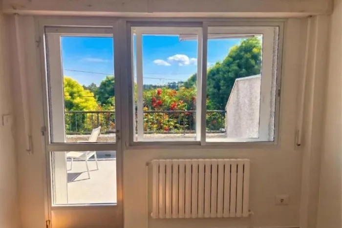
Walk with spirit, rest like you are home
A whole house in Arzúa for you and your group, right on the Camino.
Book at Casa Buen Camino, ArzúaWhat to see and eat on the Galician Way
Heritage and stops
Food along the route
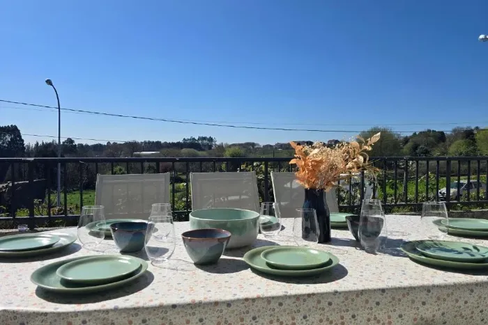
After the effort, a table in the open air
A terrace with barbecue and views over the Galician countryside: the best end to your stage.
Book at Casa Buen Camino, ArzúaFrom Arzúa to Santiago: the last two stages
From Arzúa the Camino del Norte shares its route with the Camino Francés. It is about 39 km to the Plaza del Obradoiro, in one or two stages depending on your pace.
Stage Arzúa – O Pedrouzo
- What to see
- Hermitage and fountain of Santa Irene, the woods of O Amenal and the monument to the pilgrim Guillermo Watt.
- Tip
- A short stage but with ups and downs on forest tracks: pace yourself. At Salceda the path comes close to the N-547; take great care at the crossings.
Stage O Pedrouzo – Santiago
- What to see
- Lavadoiro de Lavacolla, Monte do Gozo (km 15), where the towers of the Cathedral first appear, and the entry via San Lázaro and the Porta do Camiño.
- Tip
- Water and cafés almost every kilometre. Watch the arrows carefully as you enter the city all the way to the Obradoiro.
Frequently asked questions about the Camino del Norte
How many kilometres is the Camino del Norte?
About 820 km from Irún to Santiago, split into 34 to 36 stages depending on the guide.
How many days does it take to do it all?
With the usual stages, around 36 days of walking. Many pilgrims do it in sections.
Where does the Camino del Norte join the Francés?
At Arzúa. From there it is about 39 km to Santiago, shared with the Camino Francés. Some variants from Boimorto join earlier.
How many kilometres do I have to walk to get the Compostela?
At least the last 100 km on foot or on horseback, or 200 km by bike, with at least two stamps a day. From Vilalba it is about 120 km.
Where should I start if I only have a few days?
From Ribadeo it is about 190 km in 9 stages; from Vilalba, about 120 km in 6 stages, the minimum distance for the Compostela.
Is it a difficult route?
It is demanding, with steep climbs especially in the Basque Country and Asturias. In Galicia the toughest stages are Ribadeo – Lourenzá and Miraz – Sobrado, which reaches 710 m.
Which stretches have the fewest services?
Ribadeo – Lourenzá, Lourenzá – Abadín and Miraz – Sobrado: set out with water and food. In A Cabana there is no bar or shop.
Is the Camino del Norte a World Heritage Site?
Yes. In 2015 the Camino de Santiago Northern Routes were added to the UNESCO World Heritage list.
Where can I sleep in Arzúa?
At Casa Buen Camino: an entire house for up to 8 people, 400 m from the centre of Arzúa, right where the Norte joins the Francés. If you book directly with us, it is 10% cheaper.
Compare the three Caminos
Choose according to your time and fitness. All three meet in Arzúa.
| Camino | Route | Km | Stages | Character |
|---|---|---|---|---|
| Camino Francés | Sarria → Santiago | ≈ 115 | 5 | Medium level · the busiest |
| Camino del Norte | Irún → Santiago | ≈ 820 | 34–36 | Demanding · Cantabrian coast, quieter |
| Camino Primitivo | Oviedo → Santiago | ≈ 320 | ≈ 14 | Demanding · mountains, the oldest |
From Arzúa there are two stages (about 39 km) to Santiago on the same path.
Arriving in Arzúa
Arzúa is where the Camino del Norte and the Camino Francés meet. Rest here before the last two stages.
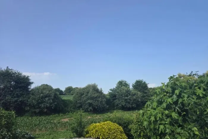
Santiago is close. Arrive rested.
Spend the night in Arzúa and take on the last stages with fresh legs.
Book at Casa Buen Camino, ArzúaPlan and organise your Camino del Norte
Stage planner
Pick your start date, pace and departure time: we calculate the date, approximate arrival time for each stage and whether you would arrive after sunset.
Approximate estimate: includes a 20-minute break every 90 minutes of walking, with no long stops or detours. Rain or fog can lengthen each stage.
Backpack checklist
Tick what you already carry; it is saved in your browser and you can print it.
Backpack weight
Rule of thumb: no more than 10% of your body weight, water and food included.
Weather on the Camino
Useful links
Rest with us in Arzúa
We would love to welcome you at Casa Buen Camino: an entire house for up to 8 people, 400 m from the centre of Arzúa. You enter with a code, we confirm your booking within 60 minutes and, if you book directly with us, it is 10% cheaper.

📸 The Camino in pictures
A glimpse of what awaits you on the trail.
 Camino del Norte
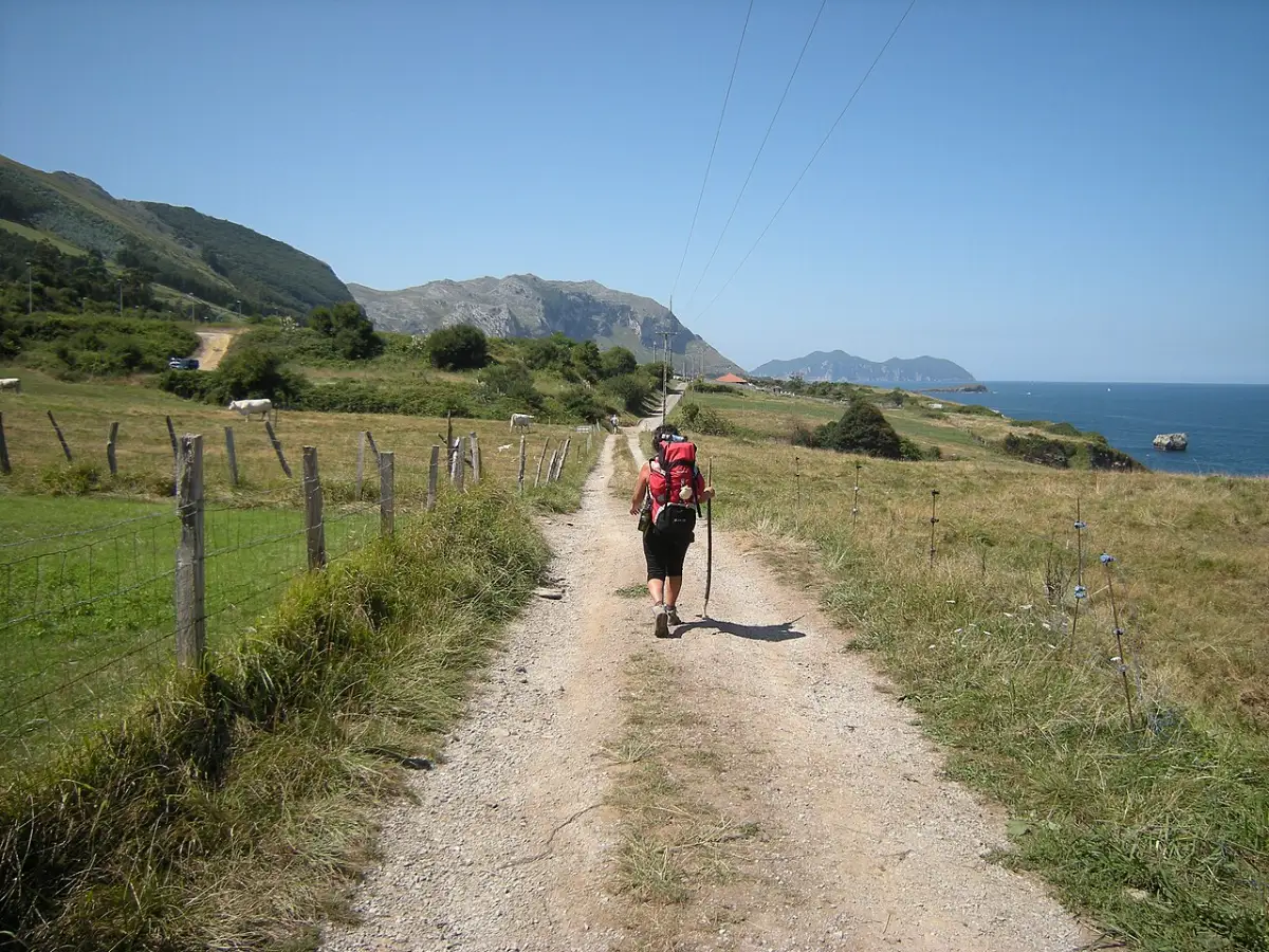 Cerdigo · Islares
 Colloto
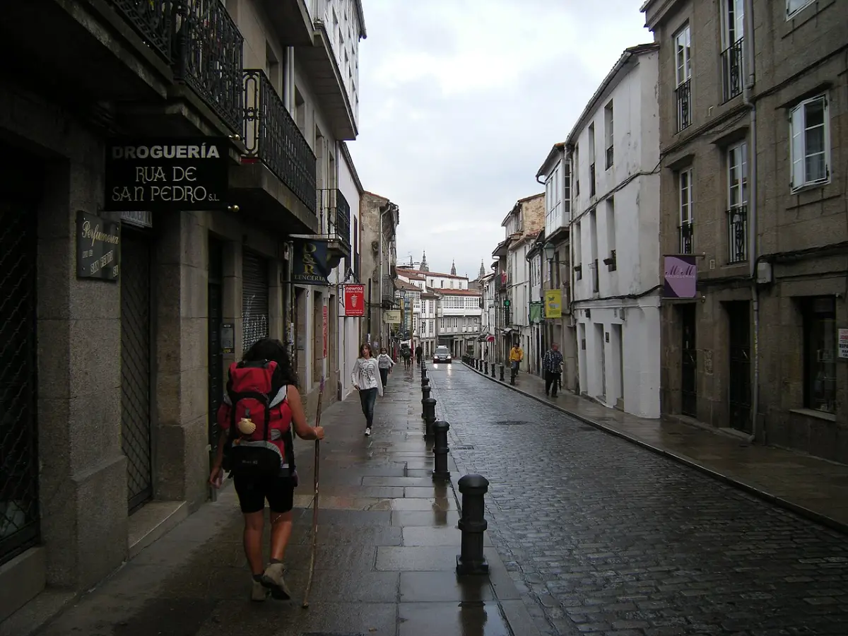 Camino del Norte
 Vilalba · Terra Chá
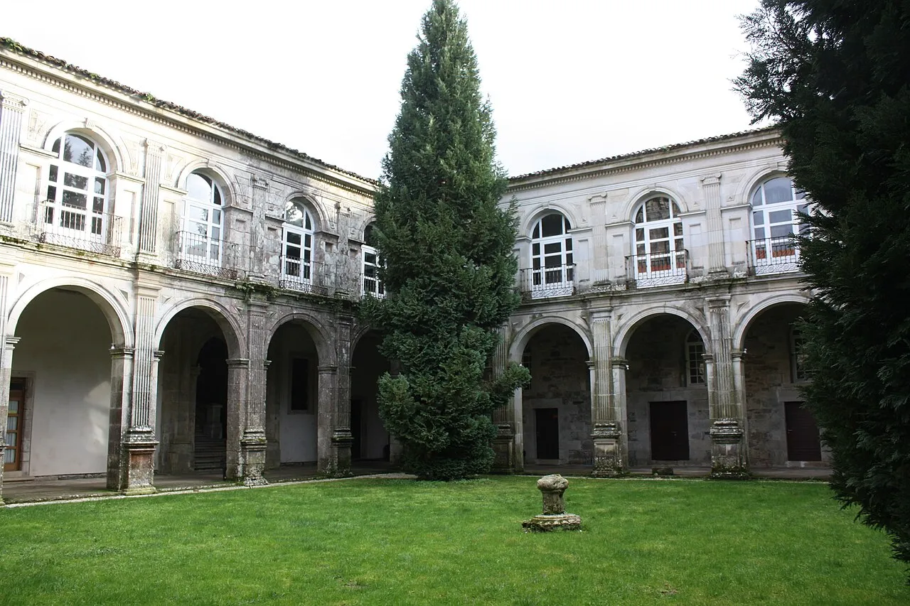 Sobrado dos Monxes
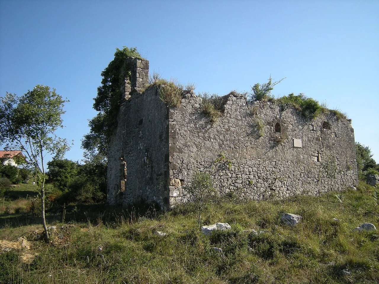 San Julián de Liendo
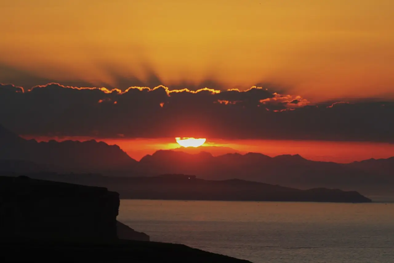 Acantilados de Toñanes
Photos from Wikimedia Commons, resized.
Santiago de Compostela awaits
Your arrival at the Obradoiro: what to see, what to do and where to stroll on the days you stay.
See the Santiago guide